Distance to West Point, Minnesota

Calculating Your Route
Just a moment while we process your request...
Location Information
-
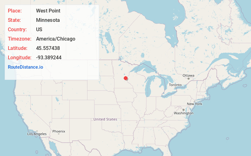
Full AddressWest Point, MN 55008
-
Coordinates45.557438, -93.389244
-
LocationWest Point , Minnesota , US
-
TimezoneAmerica/Chicago
-
Current Local Time9:34:08 AM America/ChicagoSaturday, June 21, 2025
-
Page Views0
About West Point
West Point is an unincorporated community in Isanti County, Minnesota, United States.
The community is located at the junction of State Highway 47 and Roanoke Street NW. The Rum River flows through the community.
Nearby Places
Found 10 places within 50 miles

Bradford
2.6 mi
4.2 km
Bradford, MN 55008
Get directions
Walbo
3.5 mi
5.6 km
Walbo, MN 55008
Get directions

Cambridge
7.9 mi
12.7 km
Cambridge, MN
Get directions

Isanti
8.3 mi
13.4 km
Isanti, MN 55040
Get directions
Bodum
9.3 mi
15.0 km
Bodum, MN 55040
Get directions

Princeton
9.3 mi
15.0 km
Princeton, MN 55371
Get directions
Brickton
11.0 mi
17.7 km
Brickton, MN 55371
Get directions

St Francis
11.1 mi
17.9 km
St Francis, MN
Get directions
Bethel
12.5 mi
20.1 km
Bethel, MN
Get directions

Zimmerman
12.7 mi
20.4 km
Zimmerman, MN 55398
Get directions
Location Links
Local Weather
Weather Information
Coming soon!
Location Map
Static map view of West Point, Minnesota
Browse Places by Distance
Places within specific distances from West Point
Short Distances
Long Distances
Click any distance to see all places within that range from West Point. Distances shown in miles (1 mile ≈ 1.61 kilometers).