Distance to West Point, Iowa

Calculating Your Route
Just a moment while we process your request...
Location Information
-
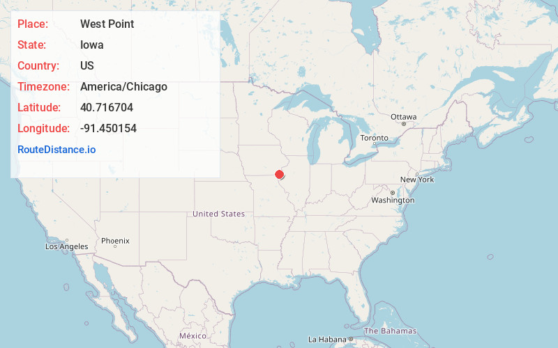
Full AddressWest Point, IA 52656
-
Coordinates40.7167039, -91.4501542
-
LocationWest Point , Iowa , US
-
TimezoneAmerica/Chicago
-
Current Local Time6:39:24 PM America/ChicagoThursday, May 29, 2025
-
Page Views0
About West Point
West Point is a city in Lee County, Iowa, United States. The population was 921 at the time of the 2020 census. It is part of the Fort Madison–Keokuk, IA-MO Micropolitan Statistical Area.


Nearby Places
Found 10 places within 50 miles

Fort Madison
9.3 mi
15.0 km
Fort Madison, IA
Get directions

Danville
12.4 mi
20.0 km
Danville, IA 52623
Get directions

New London
14.8 mi
23.8 km
New London, IA 52645
Get directions

West Burlington
17.1 mi
27.5 km
West Burlington, IA
Get directions

Mt Pleasant
18.4 mi
29.6 km
Mt Pleasant, IA 52641
Get directions

Burlington
18.7 mi
30.1 km
Burlington, IA
Get directions

Keokuk
21.8 mi
35.1 km
Keokuk, IA 52632
Get directions

Hamilton
22.9 mi
36.9 km
Hamilton, IL
Get directions

Warsaw
24.7 mi
39.8 km
Warsaw, IL 62379
Get directions

Kahoka
24.9 mi
40.1 km
Kahoka, MO 63445
Get directions
Location Links
Local Weather
Weather Information
Coming soon!
Location Map
Static map view of West Point, Iowa
Browse Places by Distance
Places within specific distances from West Point
Short Distances
Long Distances
Click any distance to see all places within that range from West Point. Distances shown in miles (1 mile ≈ 1.61 kilometers).