Distance to West Ridge, Arkansas

Calculating Your Route
Just a moment while we process your request...
Location Information
-
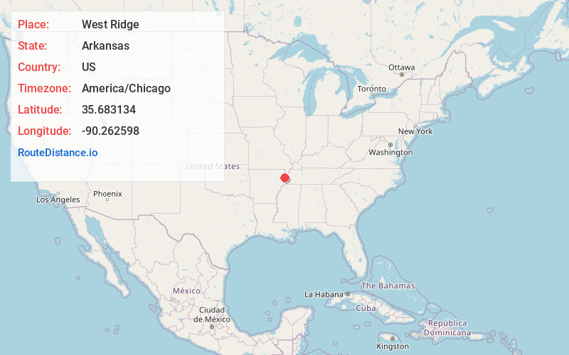
Full AddressWest Ridge, AR 72370
-
Coordinates35.6831337, -90.2625975
-
LocationWest Ridge , Arkansas , US
-
TimezoneAmerica/Chicago
-
Current Local Time6:35:55 PM America/ChicagoTuesday, June 3, 2025
-
Page Views0
About West Ridge
West Ridge is an unincorporated community in Mississippi County, Arkansas, United States. West Ridge is located on Arkansas Highway 140, 3.5 miles south-southwest of Etowah. West Ridge has a post office with ZIP code 72391.
Nearby Places
Found 10 places within 50 miles

Bondsville
3.0 mi
4.8 km
Bondsville, AR 72354
Get directions

Etowah
3.3 mi
5.3 km
Etowah, AR
Get directions

Rivervale
4.4 mi
7.1 km
Rivervale, AR
Get directions
Stier
4.7 mi
7.6 km
Stier, AR 72419
Get directions
Athelstan
4.8 mi
7.7 km
Athelstan, AR 72370
Get directions

Lepanto
6.2 mi
10.0 km
Lepanto, AR
Get directions

Caraway
6.2 mi
10.0 km
Caraway, AR
Get directions
Milligan Ridge
6.6 mi
10.6 km
Milligan Ridge, AR 72442
Get directions
Mandalay
6.8 mi
10.9 km
Mandalay, AR 72442
Get directions
Degelow
6.8 mi
10.9 km
Degelow, AR 72419
Get directions
Location Links
Local Weather
Weather Information
Coming soon!
Location Map
Static map view of West Ridge, Arkansas
Browse Places by Distance
Places within specific distances from West Ridge
Short Distances
Long Distances
Click any distance to see all places within that range from West Ridge. Distances shown in miles (1 mile ≈ 1.61 kilometers).