Distance to West Sharyland, Texas

Calculating Your Route
Just a moment while we process your request...
Location Information
-
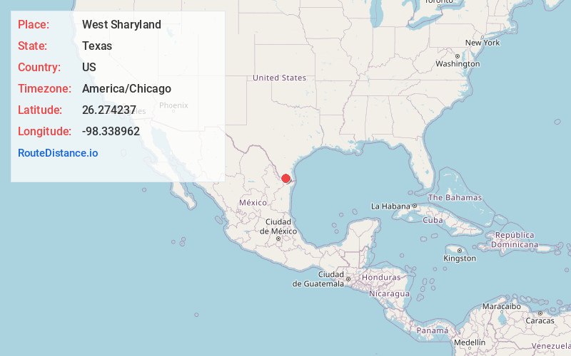
Full AddressWest Sharyland, TX 78573
-
Coordinates26.2742369, -98.338962
-
LocationWest Sharyland , Texas , US
-
TimezoneAmerica/Chicago
-
Current Local Time5:08:28 PM America/ChicagoWednesday, May 21, 2025
-
Page Views0
About West Sharyland
West Sharyland is a census-designated place in Hidalgo County, Texas, United States. The population was 2,004 at the 2020 United States Census. It is part of the McAllen–Edinburg–Mission Metropolitan Statistical Area.
Nearby Places
Found 10 places within 50 miles

Palmhurst
1.7 mi
2.7 km
Palmhurst, TX
Get directions
Alton
1.8 mi
2.9 km
Alton, TX
Get directions
La Homa
2.3 mi
3.7 km
La Homa, TX 78574
Get directions

Doffing
2.9 mi
4.7 km
Doffing, TX 78574
Get directions

Palmview
3.4 mi
5.5 km
Palmview, TX
Get directions

Mission
4.1 mi
6.6 km
Mission, TX
Get directions
Citrus City
4.6 mi
7.4 km
Citrus City, TX 78574
Get directions
Perezville
4.7 mi
7.6 km
Perezville, TX 78572
Get directions
Palmview South
5.1 mi
8.2 km
Palmview South, TX 78572
Get directions
Salida Del Sol Estates Colonia
7.2 mi
11.6 km
Salida Del Sol Estates Colonia, Salida del Sol Estates, TX 78576
Get directions
Location Links
Local Weather
Weather Information
Coming soon!
Location Map
Static map view of West Sharyland, Texas
Browse Places by Distance
Places within specific distances from West Sharyland
Short Distances
Long Distances
Click any distance to see all places within that range from West Sharyland. Distances shown in miles (1 mile ≈ 1.61 kilometers).