Distance to West Simsbury, Connecticut

Calculating Your Route
Just a moment while we process your request...
Location Information
-
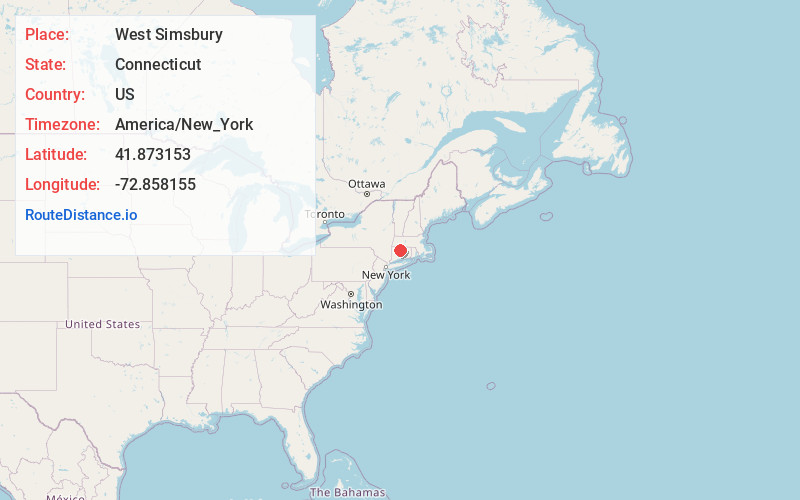
Full AddressWest Simsbury, Simsbury, CT
-
Coordinates41.8731531, -72.8581549
-
NeighborhoodWest Simsbury
-
LocationSimsbury , Connecticut , US
-
TimezoneAmerica/New_York
-
Current Local Time12:46:59 AM America/New_YorkMonday, June 2, 2025
-
Page Views0
About West Simsbury
West Simsbury is a census-designated place and section of the town of Simsbury in Hartford County, Connecticut, United States. The population of the CDP was 2,447 at the 2010 census.


Nearby Places
Found 10 places within 50 miles

Simsbury
2.8 mi
4.5 km
Simsbury, CT
Get directions

Hartford
12.1 mi
19.5 km
Hartford, CT
Get directions

Southwick
13.3 mi
21.4 km
Southwick, MA
Get directions

Torrington
14.4 mi
23.2 km
Torrington, CT 06790
Get directions

Bristol
14.7 mi
23.7 km
Bristol, CT 06010
Get directions

New Britain
14.7 mi
23.7 km
New Britain, CT
Get directions

Westfield
18.3 mi
29.5 km
Westfield, MA 01085
Get directions

Agawam
18.5 mi
29.8 km
Agawam, MA
Get directions

Longmeadow
18.7 mi
30.1 km
Longmeadow, MA
Get directions

Broad Brook
18.7 mi
30.1 km
Broad Brook, Connecticut
Get directions
Location Links
Local Weather
Weather Information
Coming soon!
Location Map
Static map view of West Simsbury, Connecticut
Browse Places by Distance
Places within specific distances from West Simsbury
Short Distances
Long Distances
Click any distance to see all places within that range from West Simsbury. Distances shown in miles (1 mile ≈ 1.61 kilometers).