Distance to West Vienna, Illinois

Calculating Your Route
Just a moment while we process your request...
Location Information
-
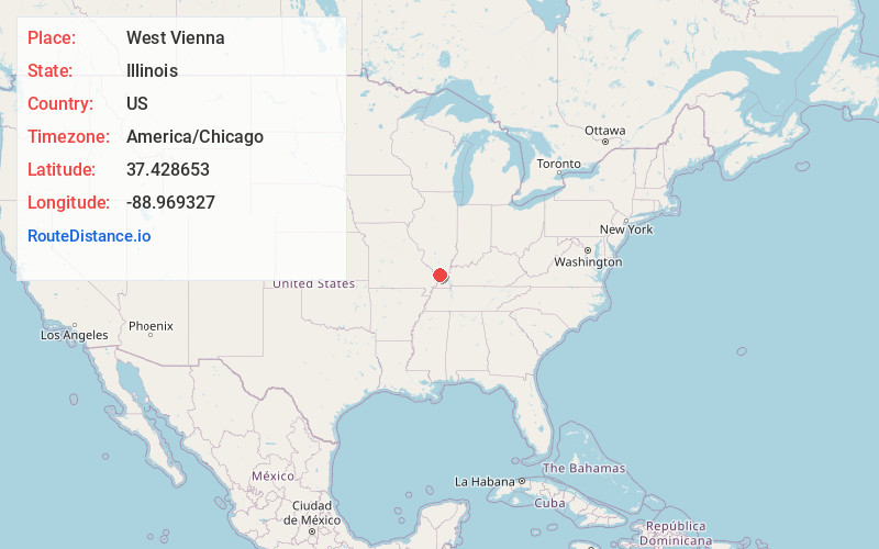
Full AddressWest Vienna, IL
-
Coordinates37.4286534, -88.9693271
-
LocationWest Vienna , Illinois , US
-
TimezoneAmerica/Chicago
-
Current Local Time11:35:04 PM America/ChicagoSaturday, May 31, 2025
-
Page Views0
About West Vienna
West Vienna, also known as Boles, is an unincorporated community in Johnson County, Illinois, United States. West Vienna is located at the junction of Illinois Route 37 and Illinois Route 146, west of Vienna. West Vienna has a post office with ZIP code 62909, though the post office uses the name Boles.
Nearby Places
Found 10 places within 50 miles

Buncombe
3.0 mi
4.8 km
Buncombe, IL 62912
Get directions

Vienna
4.0 mi
6.4 km
Vienna, IL 62995
Get directions

Moscow
4.7 mi
7.6 km
Moscow, Stokes Precinct, IL 62926
Get directions
Omar
5.0 mi
8.0 km
Omar, Elvira Precinct, IL 62912
Get directions

Cypress
5.1 mi
8.2 km
Cypress, IL 62923
Get directions
Bloomfield
5.4 mi
8.7 km
Bloomfield, IL 62995
Get directions
Elvira
5.6 mi
9.0 km
Elvira, IL 62912
Get directions
Forman
6.6 mi
10.6 km
Forman, Belknap Precinct, IL 62908
Get directions
Belknap
7.4 mi
11.9 km
Belknap, IL 62908
Get directions

Goreville
8.7 mi
14.0 km
Goreville, IL
Get directions
Location Links
Local Weather
Weather Information
Coming soon!
Location Map
Static map view of West Vienna, Illinois
Browse Places by Distance
Places within specific distances from West Vienna
Short Distances
Long Distances
Click any distance to see all places within that range from West Vienna. Distances shown in miles (1 mile ≈ 1.61 kilometers).