Distance to West Woods Upper Elementary School, Connecticut

Calculating Your Route
Just a moment while we process your request...
Location Information
-
Full AddressWest Woods Upper Elementary School, 50 Judson Ln, Farmington, CT 06032
-
Coordinates41.7115793, -72.8731014
-
Street50 Judson Ln
-
LocationFarmington , Connecticut , US
-
TimezoneAmerica/New_York
-
Current Local Time7:33:08 AM America/New_YorkSaturday, May 31, 2025
-
Website
-
Page Views0

Nearby Places
Found 10 places within 50 miles

Farmington Station
0.8 mi
1.3 km
Farmington Station, Farmington, CT 06032
Get directions
Pequabuck River
1.8 mi
2.9 km
Pequabuck River, Farmington, CT 06032
Get directions
Whigville
3.9 mi
6.3 km
Whigville, Burlington, CT 06013
Get directions

Farmington
4.4 mi
7.1 km
Farmington, CT
Get directions

Bristol
4.8 mi
7.7 km
Bristol, CT 06010
Get directions
Oakland Gardens
4.8 mi
7.7 km
Oakland Gardens, Farmington, CT 06032
Get directions
East Farmington Heights
5.2 mi
8.4 km
East Farmington Heights, Farmington, CT 06032
Get directions
West Avon
5.4 mi
8.7 km
West Avon, Avon, CT 06001
Get directions

New Britain
5.6 mi
9.0 km
New Britain, CT
Get directions

Burlington
6.2 mi
10.0 km
Burlington, CT
Get directions
Location Links
Local Weather
Weather Information
Coming soon!
Location Map
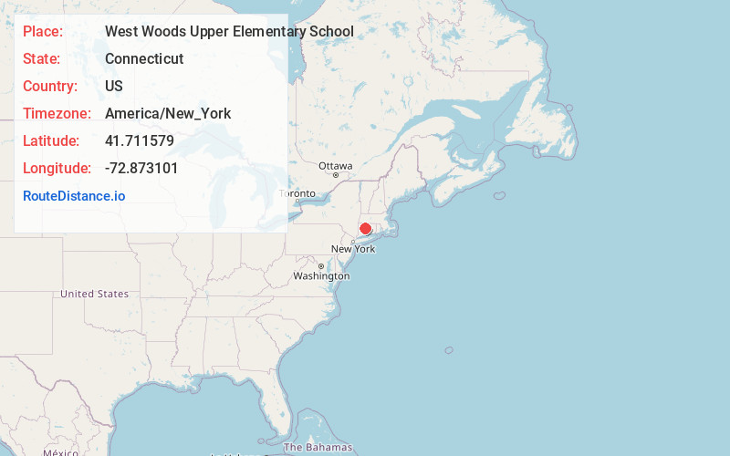
Static map view of West Woods Upper Elementary School, Connecticut
Browse Places by Distance
Places within specific distances from West Woods Upper Elementary School
Short Distances
Long Distances
Click any distance to see all places within that range from West Woods Upper Elementary School. Distances shown in miles (1 mile ≈ 1.61 kilometers).