Distance to Western Run, Maryland

Calculating Your Route
Just a moment while we process your request...
Location Information
-
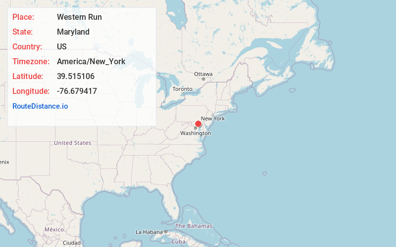
Full AddressWestern Run, MD 21030
-
Coordinates39.5151057, -76.6794169
-
LocationWestern Run , Maryland , US
-
TimezoneAmerica/New_York
-
Current Local Time11:20:27 PM America/New_YorkThursday, June 19, 2025
-
Page Views0
About Western Run
Western Run–Belfast Road Historic District is a national historic district at Lutherville, Baltimore County, Maryland, United States. It is a largely agricultural area was first settled in the 18th century and is a natural extension of the Worthington Valley Historic District.

Nearby Places
Found 10 places within 50 miles

Oregon
1.3 mi
2.1 km
Oregon, MD 21030
Get directions
Marble Hill
2.0 mi
3.2 km
Marble Hill, Cockeysville, MD 21030
Get directions
Shawan
2.0 mi
3.2 km
Shawan, MD 21030
Get directions
Priceville
2.1 mi
3.4 km
Priceville, Sparks Glencoe, MD 21152
Get directions
Broadmoor
2.4 mi
3.9 km
Broadmoor, MD 21030
Get directions

Cockeysville
3.0 mi
4.8 km
Cockeysville, MD
Get directions
Glencoe
3.3 mi
5.3 km
Glencoe, MD 21152
Get directions
Stringtown
3.4 mi
5.5 km
Stringtown, MD 21152
Get directions
Big Spring
3.5 mi
5.6 km
Big Spring, MD 21136
Get directions
Warren
4.3 mi
6.9 km
Warren, Cockeysville, MD 21030
Get directions
Location Links
Local Weather
Weather Information
Coming soon!
Location Map
Static map view of Western Run, Maryland
Browse Places by Distance
Places within specific distances from Western Run
Short Distances
Long Distances
Click any distance to see all places within that range from Western Run. Distances shown in miles (1 mile ≈ 1.61 kilometers).