Distance to Westfall, Oregon

Calculating Your Route
Just a moment while we process your request...
Location Information
-
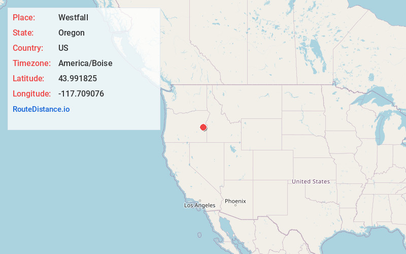
Full AddressWestfall, OR 97920
-
Coordinates43.9918247, -117.7090762
-
LocationWestfall , Oregon , US
-
TimezoneAmerica/Boise
-
Current Local Time2:36:52 AM America/BoiseWednesday, June 18, 2025
-
Page Views0
About Westfall
Westfall is an unincorporated community in Malheur County, Oregon, United States. Westfall is approximately 30 miles west of Vale. Westfall has a post office with ZIP code 97920.

Nearby Places
Found 10 places within 50 miles

Harper
10.1 mi
16.3 km
Harper, OR 97906
Get directions

Brogan
19.8 mi
31.9 km
Brogan, OR
Get directions

Vale
23.4 mi
37.7 km
Vale, OR 97918
Get directions

Juntura
25.2 mi
40.6 km
Juntura, OR 97911
Get directions

Huntington
33.1 mi
53.3 km
Huntington, OR 97907
Get directions

Clarksville
34.5 mi
55.5 km
Clarksville, OR 97819
Get directions
China Town
34.6 mi
55.7 km
China Town, OR 97819
Get directions

Adrian
36.2 mi
58.3 km
Adrian, OR 97901
Get directions

Nyssa
36.4 mi
58.6 km
Nyssa, OR 97913
Get directions

Ontario
37.2 mi
59.9 km
Ontario, OR 97914
Get directions
Location Links
Local Weather
Weather Information
Coming soon!
Location Map
Static map view of Westfall, Oregon
Browse Places by Distance
Places within specific distances from Westfall
Short Distances
Long Distances
Click any distance to see all places within that range from Westfall. Distances shown in miles (1 mile ≈ 1.61 kilometers).