Distance to Westland, Michigan

Calculating Your Route
Just a moment while we process your request...
Location Information
-
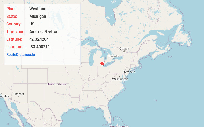
Full AddressWestland, MI
-
Coordinates42.324204, -83.400211
-
LocationWestland , Michigan , US
-
TimezoneAmerica/Detroit
-
Current Local Time12:17:33 AM America/DetroitMonday, June 23, 2025
-
Website
-
Page Views0
About Westland
Westland is a city in Wayne County in the U.S. state of Michigan. A western suburb of Detroit, Westland is located about 18 miles west of downtown Detroit. As of 2022, the city had a population of 84,037.


Nearby Places
Found 9 places within 50 miles

Livonia
3.9 mi
6.3 km
Livonia, MI
Get directions

South Lyon
15.9 mi
25.6 km
South Lyon, MI 48178
Get directions

Ann Arbor
17.8 mi
28.6 km
Ann Arbor, MI
Get directions

Detroit
18.3 mi
29.5 km
Detroit, MI
Get directions

Troy
23.3 mi
37.5 km
Troy, MI
Get directions

Warren
23.7 mi
38.1 km
Warren, MI
Get directions

Sterling Heights
25.9 mi
41.7 km
Sterling Heights, MI
Get directions

Toledo
46.9 mi
75.5 km
Toledo, OH
Get directions

Flint
49.8 mi
80.1 km
Flint, MI
Get directions
Location Links
Local Weather
Weather Information
Coming soon!
Location Map
Static map view of Westland, Michigan
Browse Places by Distance
Places within specific distances from Westland
Short Distances
Long Distances
Click any distance to see all places within that range from Westland. Distances shown in miles (1 mile ≈ 1.61 kilometers).