Distance to Weston, Connecticut

Calculating Your Route
Just a moment while we process your request...
Location Information
-
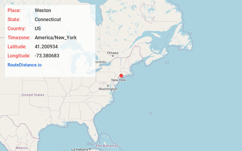
Full AddressWeston, CT 06883
-
Coordinates41.2009342, -73.3806831
-
LocationWeston , Connecticut , US
-
TimezoneAmerica/New_York
-
Current Local Time11:06:02 AM America/New_YorkFriday, May 30, 2025
-
Website
-
Page Views0
About Weston
Weston is a town in Fairfield County, Connecticut, United States. The population was 10,354 at the 2020 census and had the highest median income in the state of Connecticut. The town is part of the Western Connecticut Planning Region.


Nearby Places
Found 10 places within 50 miles

Poplar Plains Brook
2.8 mi
4.5 km
Poplar Plains Brook, Westport, CT 06880
Get directions

Norwalk
6.2 mi
10.0 km
Norwalk, CT
Get directions

New Canaan
7.0 mi
11.3 km
New Canaan, CT 06840
Get directions

Lewisboro
7.8 mi
12.6 km
Lewisboro, NY 10590
Get directions

Bridgeport
9.9 mi
15.9 km
Bridgeport, CT
Get directions

Pound Ridge
10.1 mi
16.3 km
Pound Ridge, NY 10576
Get directions

Stamford
13.2 mi
21.2 km
Stamford, CT
Get directions

North Salem
13.6 mi
21.9 km
North Salem, NY 10560
Get directions
Mill Plain Swamp
13.7 mi
22.0 km
Mill Plain Swamp, Danbury, CT 06810
Get directions

Bedford
13.7 mi
22.0 km
Bedford, NY 10506
Get directions
Location Links
Local Weather
Weather Information
Coming soon!
Location Map
Static map view of Weston, Connecticut
Browse Places by Distance
Places within specific distances from Weston
Short Distances
Long Distances
Click any distance to see all places within that range from Weston. Distances shown in miles (1 mile ≈ 1.61 kilometers).