Distance to Westover, Alabama

Calculating Your Route
Just a moment while we process your request...
Location Information
-
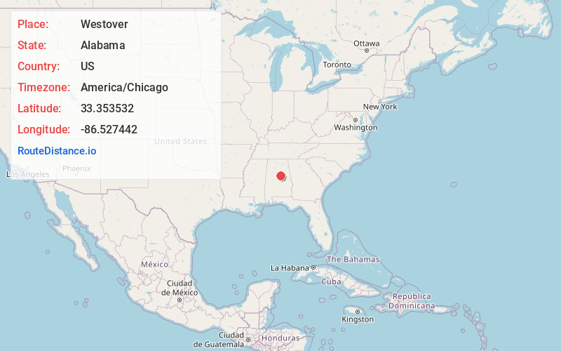
Full AddressWestover, AL
-
Coordinates33.3535324, -86.5274419
-
LocationWestover , Alabama , US
-
TimezoneAmerica/Chicago
-
Current Local Time7:54:45 AM America/ChicagoSunday, June 1, 2025
-
Website
-
Page Views0
About Westover
Westover is a city in Shelby County, Alabama, United States. The city is part of the Birmingham Metropolitan Statistical Area. The city was officially incorporated on January 31, 2001, although it was established in 1901 and had a population of 961 when it was incorporated in 2001.


Nearby Places
Found 10 places within 50 miles

Chelsea
6.0 mi
9.7 km
Chelsea, AL
Get directions

Highland Lakes
7.5 mi
12.1 km
Highland Lakes, AL 35242
Get directions

Lake Purdy
10.3 mi
16.6 km
Lake Purdy, AL 35242
Get directions
Meadowbrook
10.3 mi
16.6 km
Meadowbrook, AL 35242
Get directions

Childersburg
11.2 mi
18.0 km
Childersburg, AL
Get directions

Indian Springs Village
12.8 mi
20.6 km
Indian Springs Village, AL
Get directions

Columbiana
13.0 mi
20.9 km
Columbiana, AL 35051
Get directions

Leeds
13.5 mi
21.7 km
Leeds, AL
Get directions

Vestavia Hills
16.4 mi
26.4 km
Vestavia Hills, AL
Get directions

Irondale
16.4 mi
26.4 km
Irondale, AL
Get directions
Location Links
Local Weather
Weather Information
Coming soon!
Location Map
Static map view of Westover, Alabama
Browse Places by Distance
Places within specific distances from Westover
Short Distances
Long Distances
Click any distance to see all places within that range from Westover. Distances shown in miles (1 mile ≈ 1.61 kilometers).