Distance to Westphalia, Texas

Calculating Your Route
Just a moment while we process your request...
Location Information
-
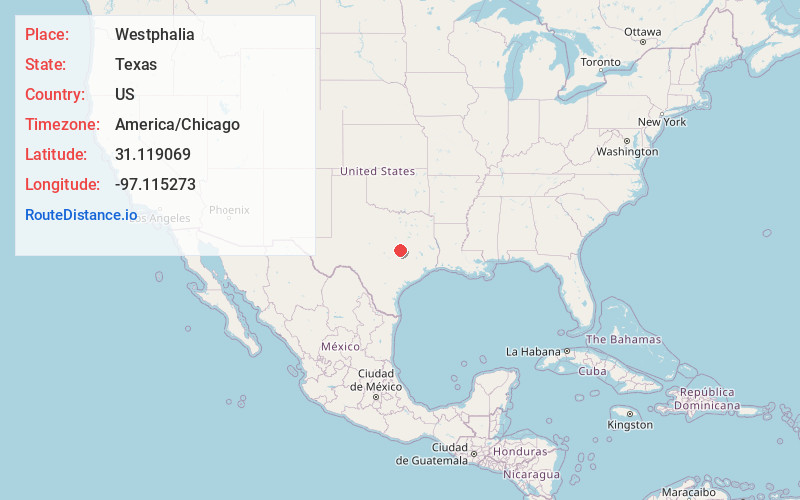
Full AddressWestphalia, TX 76656
-
Coordinates31.119069, -97.1152725
-
LocationWestphalia , Texas , US
-
TimezoneAmerica/Chicago
-
Current Local Time2:20:56 AM America/ChicagoMonday, June 23, 2025
-
Page Views0
About Westphalia
Westphalia is a small unincorporated community in Falls County, Texas, United States, located 35 mi south of Waco on State Highway 320. Westphalia has a strong German and Catholic background. The Church of the Visitation was, until recently, the largest wooden church west of the Mississippi River.


Nearby Places
Found 10 places within 50 miles

Barclay
3.0 mi
4.8 km
Barclay, TX 76570
Get directions
Airville
4.1 mi
6.6 km
Airville, TX 76501
Get directions
Zipperlandville
5.0 mi
8.0 km
Zipperlandville, TX 76570
Get directions

Zabcikville
5.9 mi
9.5 km
Zabcikville, TX 76501
Get directions

Belfalls
6.4 mi
10.3 km
Belfalls, TX 76579
Get directions
Cyclone
6.7 mi
10.8 km
Cyclone, TX 76519
Get directions
Travis
6.8 mi
10.9 km
Travis, TX 76570
Get directions

Seaton
7.3 mi
11.7 km
Seaton, TX 76501
Get directions

Lott
7.5 mi
12.1 km
Lott, TX 76656
Get directions

Red Ranger
8.7 mi
14.0 km
Red Ranger, TX 76569
Get directions
Location Links
Local Weather
Weather Information
Coming soon!
Location Map
Static map view of Westphalia, Texas
Browse Places by Distance
Places within specific distances from Westphalia
Short Distances
Long Distances
Click any distance to see all places within that range from Westphalia. Distances shown in miles (1 mile ≈ 1.61 kilometers).