Distance to Westwoods, Delaware

Calculating Your Route
Just a moment while we process your request...
Location Information
-
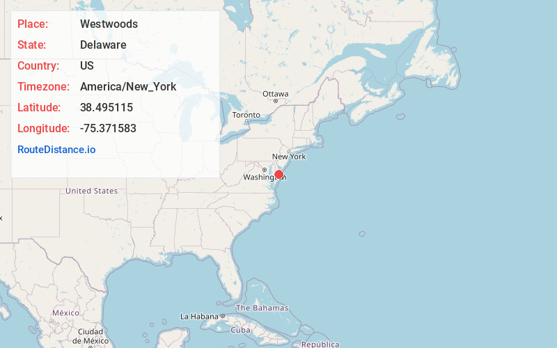
Full AddressWestwoods, DE 19945
-
Coordinates38.4951146, -75.371583
-
LocationWestwoods , Delaware , US
-
TimezoneAmerica/New_York
-
Current Local Time4:37:01 PM America/New_YorkFriday, June 13, 2025
-
Page Views0
About Westwoods
Westwoods is an unincorporated community in Sussex County, Delaware, United States. Westwoods is located along state routes 26 and 30, southwest of Millsboro and north of the Maryland border.
Nearby Places
Found 10 places within 50 miles

Lowes Crossroads
2.7 mi
4.3 km
Lowes Crossroads, DE 19966
Get directions
Pepperbox
3.7 mi
6.0 km
Pepperbox, DE 19956
Get directions
Whitesville
3.9 mi
6.3 km
Whitesville, DE 19940
Get directions
Whaleys Crossroads
5.0 mi
8.0 km
Whaleys Crossroads, DE 19956
Get directions
Careytown Branch
5.6 mi
9.0 km
Careytown Branch, Maryland 21872
Get directions
Pepper
6.6 mi
10.6 km
Pepper, DE 19956
Get directions
Melson
6.7 mi
10.8 km
Melson, MD 21875
Get directions
Pittsville
7.2 mi
11.6 km
Pittsville, MD
Get directions

Willards
7.3 mi
11.7 km
Willards, MD 21874
Get directions
Hitchens Crossroads
7.5 mi
12.1 km
Hitchens Crossroads, DE 19956
Get directions
Location Links
Local Weather
Weather Information
Coming soon!
Location Map
Static map view of Westwoods, Delaware
Browse Places by Distance
Places within specific distances from Westwoods
Short Distances
Long Distances
Click any distance to see all places within that range from Westwoods. Distances shown in miles (1 mile ≈ 1.61 kilometers).