Distance to Wethersfield, Connecticut

Calculating Your Route
Just a moment while we process your request...
Location Information
-
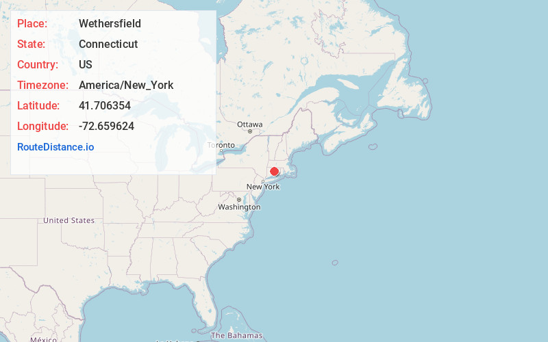
Full AddressWethersfield, CT
-
Coordinates41.7063537, -72.6596244
-
LocationWethersfield , Connecticut , US
-
TimezoneAmerica/New_York
-
Current Local Time12:05:41 PM America/New_YorkMonday, June 23, 2025
-
Website
-
Page Views0
About Wethersfield
Wethersfield is a town located in Hartford County, Connecticut, United States. It is located immediately south of Hartford along the Connecticut River. The town is part of the Capitol Planning Region. The population was 27,298 at the time of the 2020 census.


Nearby Places
Found 10 places within 50 miles

South Wethersfield
1.1 mi
1.8 km
South Wethersfield, Wethersfield, CT 06109
Get directions

Newington
3.3 mi
5.3 km
Newington, CT
Get directions

Hartford
4.2 mi
6.8 km
Hartford, CT
Get directions

Salmon Brook
4.4 mi
7.1 km
Salmon Brook, Glastonbury, CT 06033
Get directions

West Hartford
5.7 mi
9.2 km
West Hartford, CT
Get directions
Mayberry Village
6.3 mi
10.1 km
Mayberry Village, East Hartford, CT 06108
Get directions

New Britain
6.8 mi
10.9 km
New Britain, CT
Get directions
Buckingham
7.1 mi
11.4 km
Buckingham, Glastonbury, CT 06033
Get directions

Berlin
7.4 mi
11.9 km
Berlin, CT
Get directions

Cromwell
7.7 mi
12.4 km
Cromwell, CT
Get directions
Location Links
Local Weather
Weather Information
Coming soon!
Location Map
Static map view of Wethersfield, Connecticut
Browse Places by Distance
Places within specific distances from Wethersfield
Short Distances
Long Distances
Click any distance to see all places within that range from Wethersfield. Distances shown in miles (1 mile ≈ 1.61 kilometers).