Distance to Weyers Cave, Virginia

Calculating Your Route
Just a moment while we process your request...
Location Information
-
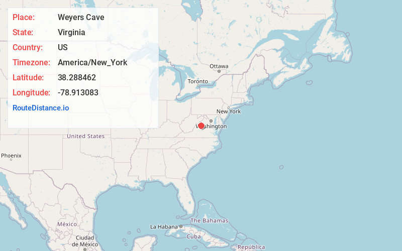
Full AddressWeyers Cave, VA
-
Coordinates38.288462, -78.9130826
-
LocationWeyers Cave , Virginia , US
-
TimezoneAmerica/New_York
-
Current Local Time11:10:31 PM America/New_YorkFriday, May 30, 2025
-
Page Views0
About Weyers Cave
Weyers Cave is a census-designated place in Augusta County, Virginia, United States. The population was 2,700 at the 2020 census. It is part of the Staunton–Waynesboro Micropolitan Statistical Area.


Nearby Places
Found 10 places within 50 miles

Grottoes
5.0 mi
8.0 km
Grottoes, VA 24441
Get directions

Bridgewater
7.3 mi
11.7 km
Bridgewater, VA
Get directions

Verona
7.9 mi
12.7 km
Verona, VA
Get directions

Massanetta Springs
8.8 mi
14.2 km
Massanetta Springs, VA
Get directions

Harrisonburg
11.1 mi
17.9 km
Harrisonburg, VA
Get directions

Massanutten
12.7 mi
20.4 km
Massanutten, VA
Get directions

Staunton
13.0 mi
20.9 km
Staunton, VA 24401
Get directions

Fishersville
13.4 mi
21.6 km
Fishersville, VA
Get directions

Waynesboro
15.3 mi
24.6 km
Waynesboro, VA 22980
Get directions

Elkton
17.7 mi
28.5 km
Elkton, VA 22827
Get directions
Location Links
Local Weather
Weather Information
Coming soon!
Location Map
Static map view of Weyers Cave, Virginia
Browse Places by Distance
Places within specific distances from Weyers Cave
Short Distances
Long Distances
Click any distance to see all places within that range from Weyers Cave. Distances shown in miles (1 mile ≈ 1.61 kilometers).