Distance to What Cheer, Iowa

Calculating Your Route
Just a moment while we process your request...
Location Information
-
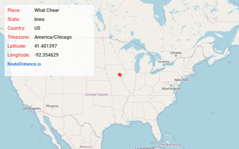
Full AddressWhat Cheer, IA 50268
-
Coordinates41.401397, -92.3546288
-
LocationWhat Cheer , Iowa , US
-
TimezoneAmerica/Chicago
-
Current Local Time1:23:47 PM America/ChicagoThursday, June 19, 2025
-
Page Views0
About What Cheer
What Cheer is a city in Keokuk County, Iowa, United States. It is a former coal town, and from the 1870s to the early 1900s was one of the major coal-producing centers of Iowa. Its greatest recorded population was 3,246, in the 1890 census. The population was 607 in the 2020 census.


Nearby Places
Found 10 places within 50 miles

Sigourney
9.1 mi
14.6 km
Sigourney, IA 52591
Get directions

Fremont
13.7 mi
22.0 km
Fremont, IA
Get directions

Montezuma
15.6 mi
25.1 km
Montezuma, IA 50171
Get directions

New Sharon
15.8 mi
25.4 km
New Sharon, IA 50207
Get directions

Hedrick
16.0 mi
25.7 km
Hedrick, IA 52563
Get directions

North English
16.4 mi
26.4 km
North English, IA 52316
Get directions

Oskaloosa
17.1 mi
27.5 km
Oskaloosa, IA 52577
Get directions
Keota
20.9 mi
33.6 km
Keota, IA 52248
Get directions

Eddyville
22.0 mi
35.4 km
Eddyville, IA
Get directions

Victor
23.0 mi
37.0 km
Victor, IA 52347
Get directions
Location Links
Local Weather
Weather Information
Coming soon!
Location Map
Static map view of What Cheer, Iowa
Browse Places by Distance
Places within specific distances from What Cheer
Short Distances
Long Distances
Click any distance to see all places within that range from What Cheer. Distances shown in miles (1 mile ≈ 1.61 kilometers).