Distance to Wheatfield, New York

Calculating Your Route
Just a moment while we process your request...
Location Information
-
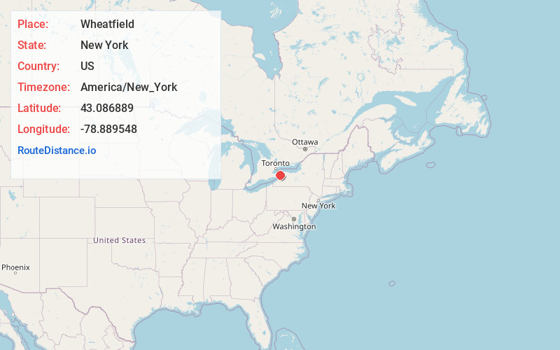
Full AddressWheatfield, NY
-
Coordinates43.086889, -78.8895479
-
LocationWheatfield , New York , US
-
TimezoneAmerica/New_York
-
Current Local Time9:18:59 AM America/New_YorkWednesday, June 18, 2025
-
Page Views0
About Wheatfield
Wheatfield is a town in Niagara County, New York, United States. The population was 18,117 at the 2010 census. The name stems from the agricultural use of the town lands, the growing of wheat.
The Town of Wheatfield is east of Niagara Falls International Airport.


Nearby Places
Found 10 places within 50 miles

North Tonawanda
3.6 mi
5.8 km
North Tonawanda, NY 14120
Get directions

Grand Island
5.9 mi
9.5 km
Grand Island, NY
Get directions

Niagara Falls
7.5 mi
12.1 km
Niagara Falls, NY
Get directions

Amherst
11.2 mi
18.0 km
Amherst, NY
Get directions

Lockport
11.6 mi
18.7 km
Lockport, NY 14094
Get directions

Buffalo
13.8 mi
22.2 km
Buffalo, NY
Get directions

Cheektowaga
14.2 mi
22.9 km
Cheektowaga, NY
Get directions

Clarence
16.7 mi
26.9 km
Clarence, NY 14031
Get directions

Lancaster
17.0 mi
27.4 km
Lancaster, NY
Get directions

Lackawanna
18.4 mi
29.6 km
Lackawanna, NY
Get directions
Location Links
Local Weather
Weather Information
Coming soon!
Location Map
Static map view of Wheatfield, New York
Browse Places by Distance
Places within specific distances from Wheatfield
Short Distances
Long Distances
Click any distance to see all places within that range from Wheatfield. Distances shown in miles (1 mile ≈ 1.61 kilometers).