Distance to Wheatfield, Virginia

Calculating Your Route
Just a moment while we process your request...
Location Information
-
Full AddressWheatfield, VA 22657
-
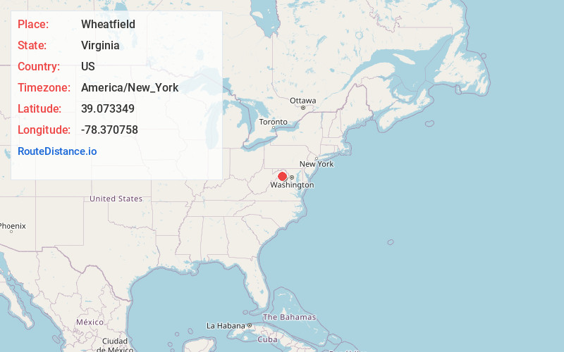
Coordinates39.073349, -78.370758
-
LocationWheatfield , Virginia , US
-
TimezoneAmerica/New_York
-
Current Local Time2:13:53 AM America/New_YorkSunday, June 8, 2025
-
Page Views0
About Wheatfield
Wheatfield is an unincorporated community in Shenandoah County, in the U.S. state of Virginia.
Nearby Places
Found 10 places within 50 miles

Lebanon Church
1.3 mi
2.1 km
Lebanon Church, VA
Get directions
Oranda
3.7 mi
6.0 km
Oranda, Clary, VA 22657
Get directions
Wilde Acres
5.6 mi
9.0 km
Wilde Acres, VA 22602
Get directions
Cedar Creek Battlefield
5.7 mi
9.2 km
Cedar Creek Battlefield, VA 22645
Get directions

Middletown
5.8 mi
9.3 km
Middletown, VA 22645
Get directions

Strasburg
5.9 mi
9.5 km
Strasburg, VA 22657
Get directions

Stephens City
8.2 mi
13.2 km
Stephens City, VA
Get directions
Reliance
8.3 mi
13.4 km
Reliance, VA 22645
Get directions

Shawneeland
8.7 mi
14.0 km
Shawneeland, VA 22602
Get directions
Waterlick
8.7 mi
14.0 km
Waterlick, VA 22657
Get directions
Location Links
Local Weather
Weather Information
Coming soon!
Location Map
Static map view of Wheatfield, Virginia
Browse Places by Distance
Places within specific distances from Wheatfield
Short Distances
Long Distances
Click any distance to see all places within that range from Wheatfield. Distances shown in miles (1 mile ≈ 1.61 kilometers).