Distance to Wheatland, Indiana

Calculating Your Route
Just a moment while we process your request...
Location Information
-
Full AddressWheatland, IN 47597
-
Coordinates38.6636588, -87.3094598
-
LocationWheatland , Indiana , US
-
TimezoneAmerica/Indiana/Vincennes
-
Current Local Time4:24:14 AM America/Indiana/VincennesSunday, June 15, 2025
-
Page Views0
About Wheatland
Wheatland is a town in Steen Township, Knox County, Indiana, United States. The population was 480 at the 2010 census.
Nearby Places
Found 10 places within 50 miles

Monroe City
4.1 mi
6.6 km
Monroe City, IN 47557
Get directions

Washington
7.4 mi
11.9 km
Washington, IN 47501
Get directions

Bicknell
7.6 mi
12.2 km
Bicknell, IN 47512
Get directions

Bruceville
8.8 mi
14.2 km
Bruceville, IN 47516
Get directions

Vincennes
11.9 mi
19.2 km
Vincennes, IN 47591
Get directions

Petersburg
12.0 mi
19.3 km
Petersburg, IN 47567
Get directions
Plainville
13.0 mi
20.9 km
Plainville, IN
Get directions
Freelandville
13.9 mi
22.4 km
Freelandville, IN
Get directions

Montgomery
14.2 mi
22.9 km
Montgomery, IN
Get directions

Oaktown
16.0 mi
25.7 km
Oaktown, IN 47561
Get directions
Location Links
Local Weather
Weather Information
Coming soon!
Location Map
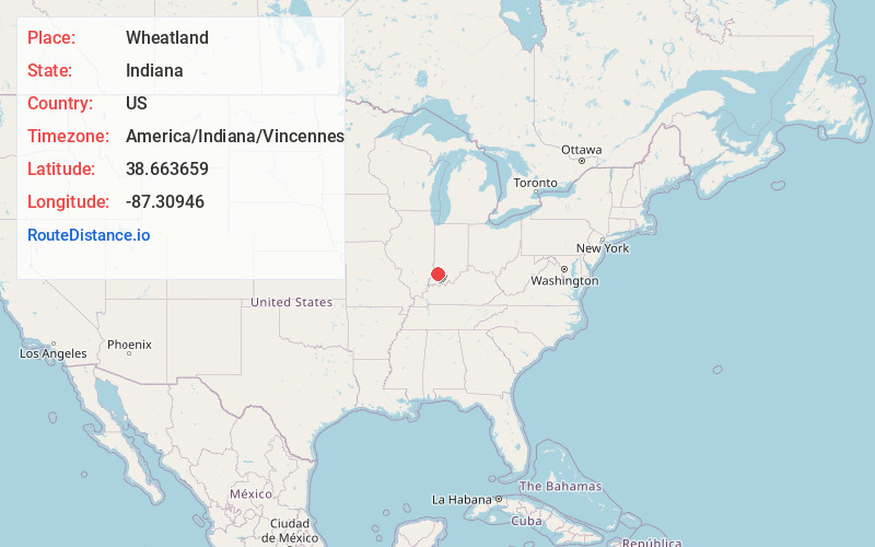
Static map view of Wheatland, Indiana
Browse Places by Distance
Places within specific distances from Wheatland
Short Distances
Long Distances
Click any distance to see all places within that range from Wheatland. Distances shown in miles (1 mile ≈ 1.61 kilometers).