Distance to Wheel, Tennessee

Calculating Your Route
Just a moment while we process your request...
Location Information
-
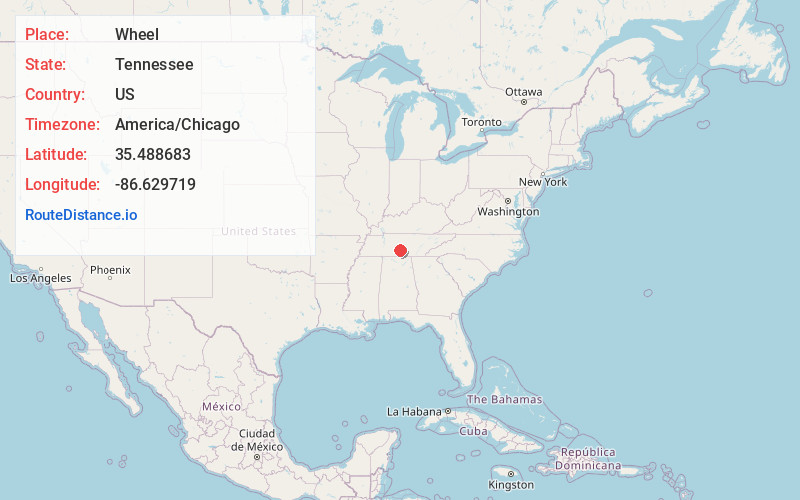
Full AddressWheel, TN 37091
-
Coordinates35.4886834, -86.6297187
-
LocationWheel , Tennessee , US
-
TimezoneAmerica/Chicago
-
Current Local Time5:27:10 AM America/ChicagoThursday, June 26, 2025
-
Page Views0
About Wheel
Wheel is an unincorporated community in Bedford County, Tennessee. It lies along State Route 64 west of Shelbyville.

Nearby Places
Found 10 places within 50 miles

Poplins Crossroads
6.8 mi
10.9 km
Poplins Crossroads, TN 37180
Get directions
Shelbyville Mills
8.0 mi
12.9 km
Shelbyville Mills, Shelbyville, TN 37161
Get directions

Lewisburg
9.4 mi
15.1 km
Lewisburg, TN 37091
Get directions

Unionville
9.4 mi
15.1 km
Unionville, TN
Get directions

Shelbyville
9.5 mi
15.3 km
Shelbyville, TN
Get directions

Chapel Hill
10.2 mi
16.4 km
Chapel Hill, TN 37034
Get directions

Lillard Mill
11.0 mi
17.7 km
Lillard Mill, TN 37091
Get directions

Petersburg
11.7 mi
18.8 km
Petersburg, TN 37144
Get directions
Himesville
11.7 mi
18.8 km
Himesville, TN 37160
Get directions
Hardison Mill
13.7 mi
22.0 km
Hardison Mill, TN 38401
Get directions
Location Links
Local Weather
Weather Information
Coming soon!
Location Map
Static map view of Wheel, Tennessee
Browse Places by Distance
Places within specific distances from Wheel
Short Distances
Long Distances
Click any distance to see all places within that range from Wheel. Distances shown in miles (1 mile ≈ 1.61 kilometers).