Distance to Whippleville, New York

Calculating Your Route
Just a moment while we process your request...
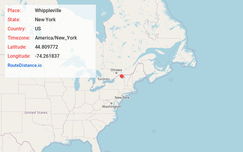
Location Information
-
Full AddressWhippleville, NY 12953
-
Coordinates44.8097716, -74.261837
-
LocationWhippleville , New York , US
-
TimezoneAmerica/New_York
-
Current Local Time11:21:12 PM America/New_YorkThursday, June 19, 2025
-
Page Views0
About Whippleville
Whippleville is a hamlet in Franklin County, New York, United States. The community is 3.1 miles south-southeast of Malone. Whippleville had a post office from May 26, 1887, until October 14, 1989; it still has its own ZIP code, 12995.
Nearby Places
Found 10 places within 50 miles

Teboville
0.9 mi
1.4 km
Teboville, NY 12953
Get directions

Constable
8.4 mi
13.5 km
Constable, NY 12926
Get directions

Bellmont
9.2 mi
14.8 km
Bellmont, NY
Get directions
Porcaville
9.5 mi
15.3 km
Porcaville, NY 12969
Get directions
Brandon
9.9 mi
15.9 km
Brandon, NY 12966
Get directions

Chateaugay
12.0 mi
19.3 km
Chateaugay, NY
Get directions
Brushton
12.4 mi
20.0 km
Brushton, NY 12916
Get directions
Santa Clara
15.5 mi
24.9 km
Santa Clara, NY 12980
Get directions
Dickinson Center
15.6 mi
25.1 km
Dickinson Center, NY 12930
Get directions

St Regis Falls
16.8 mi
27.0 km
St Regis Falls, NY 12980
Get directions
Location Links
Local Weather
Weather Information
Coming soon!
Location Map
Static map view of Whippleville, New York
Browse Places by Distance
Places within specific distances from Whippleville
Short Distances
Long Distances
Click any distance to see all places within that range from Whippleville. Distances shown in miles (1 mile ≈ 1.61 kilometers).