Distance to Whiskey Run Township, Indiana

Calculating Your Route
Just a moment while we process your request...
Location Information
-
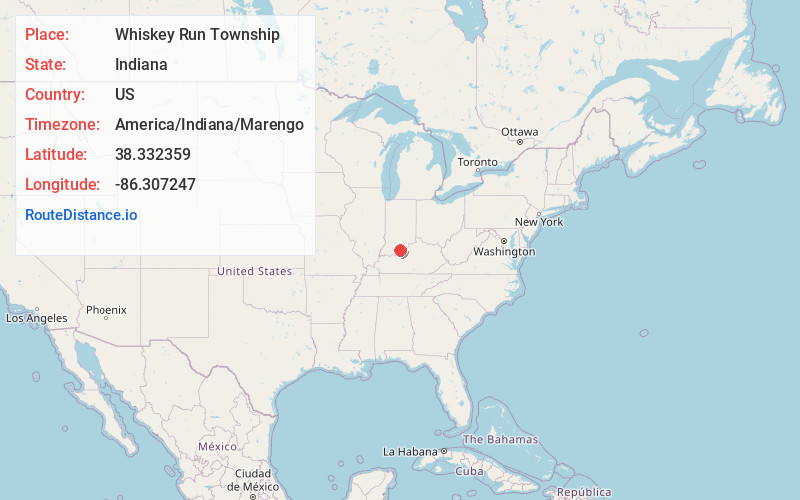
Full AddressWhiskey Run Township, IN
-
Coordinates38.3323589, -86.3072469
-
LocationWhiskey Run Township , Indiana , US
-
TimezoneAmerica/Indiana/Marengo
-
Current Local Time8:29:01 AM America/Indiana/MarengoSaturday, May 24, 2025
-
Page Views0
About Whiskey Run Township
Whiskey Run Township is one of nine townships in Crawford County, Indiana. As of the 2020 census, its population was 1,937 and it contained 871 housing units.


Nearby Places
Found 10 places within 50 miles

Milltown
1.8 mi
2.9 km
Milltown, IN
Get directions

Hogtown
1.9 mi
3.1 km
Hogtown, IN 47140
Get directions
Marengo
3.5 mi
5.6 km
Marengo, IN 47140
Get directions
Pilot Knob
4.1 mi
6.6 km
Pilot Knob, Jennings Township, IN 47145
Get directions
Little St Louis
4.3 mi
6.9 km
Little St Louis, Spencer Township, IN 47115
Get directions
Curby
4.9 mi
7.9 km
Curby, IN 47118
Get directions
Depauw
4.9 mi
7.9 km
Depauw, IN 47115
Get directions
Frenchtown
5.2 mi
8.4 km
Frenchtown, Spencer Township, IN 47115
Get directions
Temple
5.9 mi
9.5 km
Temple, Sterling Township, IN 47118
Get directions

Carefree
6.1 mi
9.8 km
Carefree, IN 47118
Get directions
Location Links
Local Weather
Weather Information
Coming soon!
Location Map
Static map view of Whiskey Run Township, Indiana
Browse Places by Distance
Places within specific distances from Whiskey Run Township
Short Distances
Long Distances
Click any distance to see all places within that range from Whiskey Run Township. Distances shown in miles (1 mile ≈ 1.61 kilometers).