Distance to White Clay Creek State Park, Delaware

Calculating Your Route
Just a moment while we process your request...
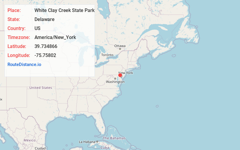
Location Information
-
Full AddressWhite Clay Creek State Park, Park Office, 750 Thompson Station Rd, Newark, DE 19711
-
Coordinates39.7348663, -75.7580196
-
StreetPark Office, 750 Thompson Station Rd
-
LocationNewark , Delaware , US
-
TimezoneAmerica/New_York
-
Current Local Time9:05:23 PM America/New_YorkMonday, June 2, 2025
-
Page Views0
About White Clay Creek State Park
Park featuring 37 miles of hiking & biking trails along with fishing streams & a nature center.


Nearby Places
Found 10 places within 50 miles

Milford Crossroads
1.6 mi
2.6 km
Milford Crossroads, DE 19711
Get directions
Mechanicsville
1.8 mi
2.9 km
Mechanicsville, DE 19711
Get directions
Strickersville
1.9 mi
3.1 km
Strickersville, London Britain Township, PA 19350
Get directions

London Britain Township
2.2 mi
3.5 km
London Britain Township, PA 19350
Get directions
West Meadow
2.4 mi
3.9 km
West Meadow, DE 19711
Get directions
Milford Meadows
2.5 mi
4.0 km
Milford Meadows, DE 19711
Get directions
Glen Westover
2.5 mi
4.0 km
Glen Westover, MD 21921
Get directions
Chapel Hill
2.7 mi
4.3 km
Chapel Hill, DE 19711
Get directions
Covered Bridge Farms
2.7 mi
4.3 km
Covered Bridge Farms, DE 19711
Get directions
North Star
2.8 mi
4.5 km
North Star, DE
Get directions
Location Links
Local Weather
Weather Information
Coming soon!
Location Map
Static map view of White Clay Creek State Park, Delaware
Browse Places by Distance
Places within specific distances from White Clay Creek State Park
Short Distances
Long Distances
Click any distance to see all places within that range from White Clay Creek State Park. Distances shown in miles (1 mile ≈ 1.61 kilometers).