Distance to White Cliffs, Arkansas

Calculating Your Route
Just a moment while we process your request...
Location Information
-
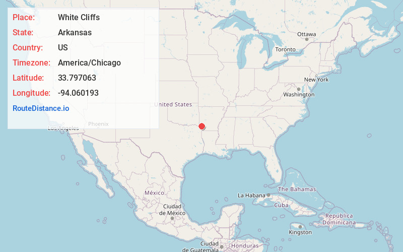
Full AddressWhite Cliffs, AR 71846
-
Coordinates33.7970627, -94.0601925
-
LocationWhite Cliffs , Arkansas , US
-
TimezoneAmerica/Chicago
-
Current Local Time5:06:51 AM America/ChicagoSunday, June 22, 2025
-
Page Views0


Nearby Places
Found 10 places within 50 miles

Cowlingsville
3.6 mi
5.8 km
Cowlingsville, AR 71846
Get directions
Ben Lomond
4.2 mi
6.8 km
Ben Lomond, AR 71846
Get directions
Yarborough Landing
5.8 mi
9.3 km
Yarborough Landing, AR 71822
Get directions
Wilton
6.4 mi
10.3 km
Wilton, AR
Get directions

Ashdown
9.4 mi
15.1 km
Ashdown, AR 71822
Get directions

Tollette
9.6 mi
15.4 km
Tollette, AR 71851
Get directions

Saratoga
9.6 mi
15.4 km
Saratoga, AR
Get directions

Mineral Springs
10.0 mi
16.1 km
Mineral Springs, AR 71851
Get directions
Alleene
11.7 mi
18.8 km
Alleene, AR
Get directions

Lockesburg
13.3 mi
21.4 km
Lockesburg, AR 71846
Get directions
Location Links
Local Weather
Weather Information
Coming soon!
Location Map
Static map view of White Cliffs, Arkansas
Browse Places by Distance
Places within specific distances from White Cliffs
Short Distances
Long Distances
Click any distance to see all places within that range from White Cliffs. Distances shown in miles (1 mile ≈ 1.61 kilometers).