Distance to White Oaks, New Mexico

Calculating Your Route
Just a moment while we process your request...
Location Information
-
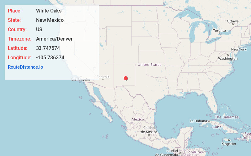
Full AddressWhite Oaks, NM 88301
-
Coordinates33.7475738, -105.7363739
-
LocationWhite Oaks , New Mexico , US
-
TimezoneAmerica/Denver
-
Current Local Time1:38:24 AM America/DenverMonday, June 23, 2025
-
Page Views0
About White Oaks
White Oaks is a ghost town in Lincoln County, New Mexico, United States. Located on the outskirts of the Lincoln National Forest, it became a boomtown in 1879 following the discovery of gold and coal in the nearby Jicarilla Mountains.


Nearby Places
Found 10 places within 50 miles

Reventon
6.4 mi
10.3 km
Reventon, NM 88301
Get directions

Carrizozo
10.9 mi
17.5 km
Carrizozo, NM 88301
Get directions
Black Hat Group
11.7 mi
18.8 km
Black Hat Group, New Mexico 88301
Get directions

Capitan
16.9 mi
27.2 km
Capitan, NM 88316
Get directions
Lovelace
17.6 mi
28.3 km
Lovelace, NM 88301
Get directions
Tecolote
19.1 mi
30.7 km
Tecolote, NM 88318
Get directions
Villa Madonna
22.5 mi
36.2 km
Villa Madonna, NM 88312
Get directions
Sun Valley
23.4 mi
37.7 km
Sun Valley, NM 88312
Get directions
Kimmons
24.1 mi
38.8 km
Kimmons, NM 88301
Get directions
Cora Crew
24.7 mi
39.8 km
Cora Crew, NM 88352
Get directions
Location Links
Local Weather
Weather Information
Coming soon!
Location Map
Static map view of White Oaks, New Mexico
Browse Places by Distance
Places within specific distances from White Oaks
Short Distances
Long Distances
Click any distance to see all places within that range from White Oaks. Distances shown in miles (1 mile ≈ 1.61 kilometers).