Distance to White Plains, Kentucky

Calculating Your Route
Just a moment while we process your request...
Location Information
-
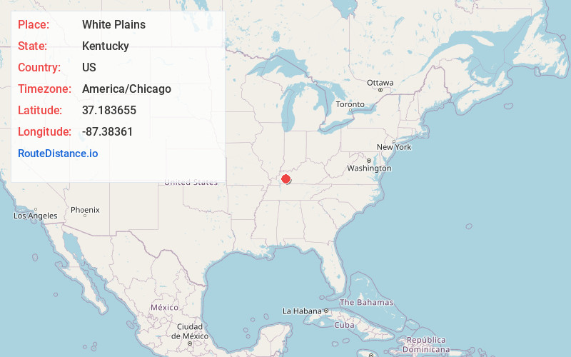
Full AddressWhite Plains, KY 42464
-
Coordinates37.183655, -87.3836095
-
LocationWhite Plains , Kentucky , US
-
TimezoneAmerica/Chicago
-
Current Local Time10:47:06 AM America/ChicagoWednesday, May 28, 2025
-
Page Views0
About White Plains
White Plains is a home rule-class city in Hopkins County, Kentucky, United States. The population was 884 at the 2010 census, up from 800 at the 2000 census.

Nearby Places
Found 10 places within 50 miles

Earlington
9.4 mi
15.1 km
Earlington, KY
Get directions

Greenville
11.3 mi
18.2 km
Greenville, KY
Get directions

Madisonville
11.8 mi
19.0 km
Madisonville, KY 42431
Get directions

Central City
16.2 mi
26.1 km
Central City, KY 42330
Get directions

Dawson Springs
17.0 mi
27.4 km
Dawson Springs, KY 42408
Get directions

Hopkinsville
22.7 mi
36.5 km
Hopkinsville, KY
Get directions

Providence
25.6 mi
41.2 km
Providence, KY 42450
Get directions

Lewisburg
27.6 mi
44.4 km
Lewisburg, KY 42256
Get directions

Princeton
27.9 mi
44.9 km
Princeton, KY 42445
Get directions

Dixon
28.6 mi
46.0 km
Dixon, KY 42409
Get directions
Location Links
Local Weather
Weather Information
Coming soon!
Location Map
Static map view of White Plains, Kentucky
Browse Places by Distance
Places within specific distances from White Plains
Short Distances
Long Distances
Click any distance to see all places within that range from White Plains. Distances shown in miles (1 mile ≈ 1.61 kilometers).