Distance to White Point Landing, South Carolina

Calculating Your Route
Just a moment while we process your request...
Location Information
-
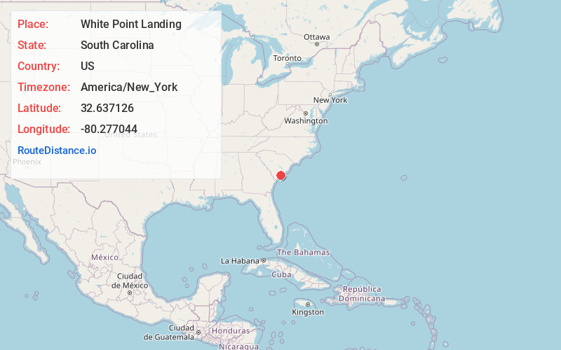
Full AddressWhite Point Landing, SC 29449
-
Coordinates32.637126, -80.2770436
-
LocationWhite Point Landing , South Carolina , US
-
TimezoneAmerica/New_York
-
Current Local Time5:20:17 AM America/New_YorkWednesday, June 18, 2025
-
Page Views0
Nearby Places
Found 10 places within 50 miles

Bears Bluff
1.5 mi
2.4 km
Bears Bluff, SC 29487
Get directions
Gibson
4.4 mi
7.1 km
Gibson, SC 29449
Get directions
Rockland
4.7 mi
7.6 km
Rockland, Wadmalaw Island, SC 29487
Get directions
Little Edisto
4.7 mi
7.6 km
Little Edisto, Edisto Island, SC 29438
Get directions

Rockville
5.4 mi
8.7 km
Rockville, SC 29487
Get directions
Barrelville
5.5 mi
8.9 km
Barrelville, SC 29449
Get directions

Meggett
6.0 mi
9.7 km
Meggett, SC
Get directions
Baptist Hill
6.7 mi
10.8 km
Baptist Hill, Hollywood, SC 29449
Get directions

Edisto Island
6.7 mi
10.8 km
Edisto Island, SC 29438
Get directions
Freedman
7.0 mi
11.3 km
Freedman, Edisto Island, SC 29438
Get directions
Location Links
Local Weather
Weather Information
Coming soon!
Location Map
Static map view of White Point Landing, South Carolina
Browse Places by Distance
Places within specific distances from White Point Landing
Short Distances
Long Distances
Click any distance to see all places within that range from White Point Landing. Distances shown in miles (1 mile ≈ 1.61 kilometers).