Distance to White Rock, Michigan

Calculating Your Route
Just a moment while we process your request...
Location Information
-
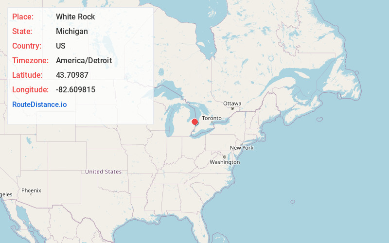
Full AddressWhite Rock, MI 48441
-
Coordinates43.7098696, -82.6098154
-
LocationWhite Rock , Michigan , US
-
TimezoneAmerica/Detroit
-
Current Local Time7:02:25 AM America/DetroitMonday, June 2, 2025
-
Page Views1
About White Rock
White Rock is an unincorporated community in Huron County in the U.S. state of Michigan. The community is located within Sherman Township. As an unincorporated community, White Rock has no legal autonomy, defined boundaries, or population statistics of its own.
Nearby Places
Found 10 places within 50 miles

Forestville
3.3 mi
5.3 km
Forestville, MI 48434
Get directions
Minden City
8.8 mi
14.2 km
Minden City, MI 48456
Get directions

Harbor Beach
9.5 mi
15.3 km
Harbor Beach, MI 48441
Get directions

Deckerville
14.1 mi
22.7 km
Deckerville, MI 48427
Get directions
Tyre
14.3 mi
23.0 km
Tyre, Austin Township, MI 48475
Get directions

Forester
14.7 mi
23.7 km
Forester, MI 48419
Get directions

Ubly
16.1 mi
25.9 km
Ubly, MI 48475
Get directions
Freidberger
16.5 mi
26.6 km
Freidberger, Austin Township, MI 48475
Get directions

Port Hope
16.8 mi
27.0 km
Port Hope, MI 48468
Get directions
McGregor
17.2 mi
27.7 km
McGregor, Bridgehampton Township, MI 48427
Get directions
Location Links
Local Weather
Weather Information
Coming soon!
Location Map
Static map view of White Rock, Michigan
Browse Places by Distance
Places within specific distances from White Rock
Short Distances
Long Distances
Click any distance to see all places within that range from White Rock. Distances shown in miles (1 mile ≈ 1.61 kilometers).