Distance to White Sand, Mississippi

Calculating Your Route
Just a moment while we process your request...
Location Information
-
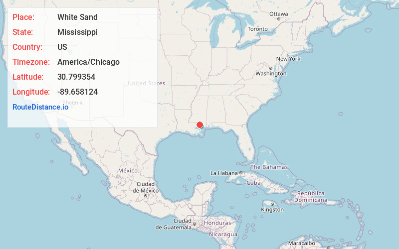
Full AddressWhite Sand, MS 39470
-
Coordinates30.7993541, -89.6581241
-
LocationWhite Sand , Mississippi , US
-
TimezoneAmerica/Chicago
-
Current Local Time10:36:14 AM America/ChicagoTuesday, June 3, 2025
-
Page Views0
Nearby Places
Found 10 places within 50 miles

Derby
5.2 mi
8.4 km
Derby, MS 39470
Get directions
Millard
6.4 mi
10.3 km
Millard, MS 39470
Get directions

Crossroads
7.0 mi
11.3 km
Crossroads, MS 39470
Get directions

Poplarville
7.9 mi
12.7 km
Poplarville, MS 39470
Get directions
Hawthorne
10.4 mi
16.7 km
Hawthorne, MS 39426
Get directions
Fords Creek
10.5 mi
16.9 km
Fords Creek, MS 39470
Get directions
Orvisburg
11.1 mi
17.9 km
Orvisburg, MS 39470
Get directions

Bogalusa
11.3 mi
18.2 km
Bogalusa, LA 70427
Get directions

Varnado
12.1 mi
19.5 km
Varnado, LA 70426
Get directions
Hillsdale
13.0 mi
20.9 km
Hillsdale, MS 39455
Get directions
Location Links
Local Weather
Weather Information
Coming soon!
Location Map
Static map view of White Sand, Mississippi
Browse Places by Distance
Places within specific distances from White Sand
Short Distances
Long Distances
Click any distance to see all places within that range from White Sand. Distances shown in miles (1 mile ≈ 1.61 kilometers).