Distance to Whitehall, Louisiana

Calculating Your Route
Just a moment while we process your request...
Location Information
-
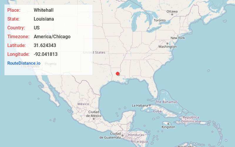
Full AddressWhitehall, LA 71342
-
Coordinates31.6243431, -92.041813
-
LocationWhitehall , Louisiana , US
-
TimezoneAmerica/Chicago
-
Current Local Time8:29:29 AM America/ChicagoSaturday, May 31, 2025
-
Page Views0
About Whitehall
Whitehall is an unincorporated community located in LaSalle Parish, Louisiana, United States.
The community is at the intersection of U.S. 80, Louisiana Highway 8 and Louisiana Highway 460. The north end of Catahoula Lake lies four miles to the south.
Nearby Places
Found 10 places within 50 miles

Jena
6.8 mi
10.9 km
Jena, LA
Get directions

Webb Quarters
7.5 mi
12.1 km
Webb Quarters, Midway, LA 71342
Get directions
Manifest
7.6 mi
12.2 km
Manifest, LA 71343
Get directions

Midway
8.0 mi
12.9 km
Midway, LA 71342
Get directions
Trout
9.6 mi
15.4 km
Trout, LA
Get directions
Nickel
12.8 mi
20.6 km
Nickel, LA 71465
Get directions

Jonesville
13.2 mi
21.2 km
Jonesville, LA 71343
Get directions
Wallace Ridge
13.9 mi
22.4 km
Wallace Ridge, LA 71343
Get directions
Ganeyville
15.6 mi
25.1 km
Ganeyville, LA 71371
Get directions
Serena
16.5 mi
26.6 km
Serena, LA 71343
Get directions
Location Links
Local Weather
Weather Information
Coming soon!
Location Map
Static map view of Whitehall, Louisiana
Browse Places by Distance
Places within specific distances from Whitehall
Short Distances
Long Distances
Click any distance to see all places within that range from Whitehall. Distances shown in miles (1 mile ≈ 1.61 kilometers).