Distance to Whitehall, Michigan

Calculating Your Route
Just a moment while we process your request...
Location Information
-
Full AddressWhitehall, MI 49461
-
Coordinates43.4100107, -86.3486792
-
LocationWhitehall , Michigan , US
-
TimezoneAmerica/Detroit
-
Current Local Time1:16:46 PM America/DetroitWednesday, June 25, 2025
-
Website
-
Page Views0
About Whitehall
Whitehall is a city in Muskegon County in the U.S. state of Michigan. The population was 2,909 at the 2020 census. The city is located to the west of Whitehall Township. Montague is its neighbor.


Nearby Places
Found 10 places within 50 miles

North Muskegon
11.4 mi
18.3 km
North Muskegon, MI 49445
Get directions

Muskegon
13.2 mi
21.2 km
Muskegon, MI
Get directions

Muskegon Heights
15.5 mi
24.9 km
Muskegon Heights, MI 49444
Get directions

Wolf Lake
17.1 mi
27.5 km
Wolf Lake, MI 49442
Get directions

Norton Shores
17.2 mi
27.7 km
Norton Shores, MI
Get directions

Fremont
20.8 mi
33.5 km
Fremont, MI
Get directions
Ferrysburg
23.4 mi
37.7 km
Ferrysburg, MI
Get directions

Grand Haven
24.7 mi
39.8 km
Grand Haven, MI
Get directions

Coopersville
31.7 mi
51.0 km
Coopersville, MI 49404
Get directions

Allendale
36.2 mi
58.3 km
Allendale, MI
Get directions
Location Links
Local Weather
Weather Information
Coming soon!
Location Map
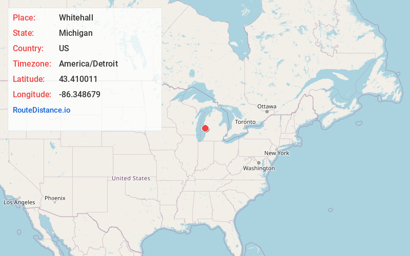
Static map view of Whitehall, Michigan
Browse Places by Distance
Places within specific distances from Whitehall
Short Distances
Long Distances
Click any distance to see all places within that range from Whitehall. Distances shown in miles (1 mile ≈ 1.61 kilometers).