Distance to Whiteriver, Arizona

Calculating Your Route
Just a moment while we process your request...
Location Information
-
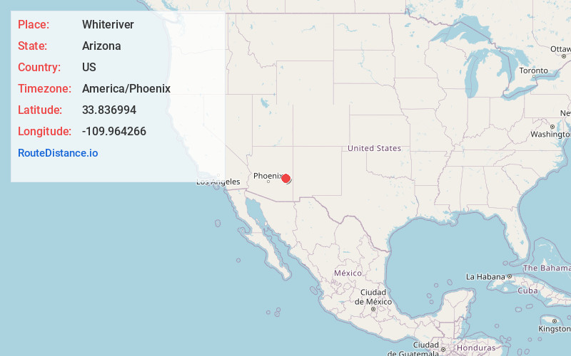
Full AddressWhiteriver, AZ 85941
-
Coordinates33.8369944, -109.9642664
-
LocationWhiteriver , Arizona , US
-
TimezoneAmerica/Phoenix
-
Current Local Time3:27:55 AM America/PhoenixMonday, June 2, 2025
-
Page Views0
About Whiteriver
Whiteriver is a census-designated place located on the Fort Apache Indian Reservation in Navajo County, Arizona, United States. The population was 4,104 at the 2010 census, making it the largest settlement on the Reservation.


Nearby Places
Found 2 places within 50 miles


Location Links
Local Weather
Weather Information
Coming soon!
Location Map
Static map view of Whiteriver, Arizona
Browse Places by Distance
Places within specific distances from Whiteriver
Short Distances
Long Distances
Click any distance to see all places within that range from Whiteriver. Distances shown in miles (1 mile ≈ 1.61 kilometers).