Distance to Whiteston, North Carolina

Calculating Your Route
Just a moment while we process your request...
Location Information
-
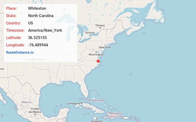
Full AddressWhiteston, NC 27919
-
Coordinates36.3251554, -76.4899438
-
LocationWhiteston , North Carolina , US
-
TimezoneAmerica/New_York
-
Current Local Time10:54:18 AM America/New_YorkTuesday, June 17, 2025
-
Page Views0
Nearby Places
Found 10 places within 50 miles

Nicanor
0.8 mi
1.3 km
Nicanor, NC 27919
Get directions
Peach
3.3 mi
5.3 km
Peach, NC 27919
Get directions
Joppa
4.4 mi
7.1 km
Joppa, NC 27946
Get directions

Belvidere
4.7 mi
7.6 km
Belvidere, NC 27919
Get directions
Selwin
5.4 mi
8.7 km
Selwin, NC 27946
Get directions
Parkville
5.6 mi
9.0 km
Parkville, NC 27944
Get directions
Greens Fork
5.7 mi
9.2 km
Greens Fork, NC 27946
Get directions
Keys Crossroads
5.9 mi
9.5 km
Keys Crossroads, NC 27946
Get directions
Hobbsville
6.6 mi
10.6 km
Hobbsville, NC 27946
Get directions
Trotville
6.7 mi
10.8 km
Trotville, NC 27946
Get directions
Location Links
Local Weather
Weather Information
Coming soon!
Location Map
Static map view of Whiteston, North Carolina
Browse Places by Distance
Places within specific distances from Whiteston
Short Distances
Long Distances
Click any distance to see all places within that range from Whiteston. Distances shown in miles (1 mile ≈ 1.61 kilometers).