Distance to Whitestown, New York

Calculating Your Route
Just a moment while we process your request...
Location Information
-
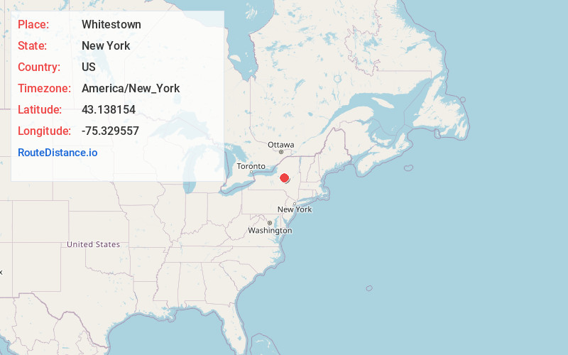
Full AddressWhitestown, NY
-
Coordinates43.1381536, -75.329557
-
LocationWhitestown , New York , US
-
TimezoneAmerica/New_York
-
Current Local Time4:26:40 AM America/New_YorkWednesday, June 18, 2025
-
Page Views0
About Whitestown
Whitestown is a town in Oneida County, New York, United States. The population was 18,667 at the 2010 census. The name is derived from Judge Hugh White, an early settler. The town is immediately west of Utica and the New York State Thruway passes across the town.
Nearby Places
Found 6 places within 50 miles

New Hartford
4.9 mi
7.9 km
New Hartford, NY
Get directions

Manlius
34.0 mi
54.7 km
Manlius, NY 13104
Get directions

De Witt
37.8 mi
60.8 km
De Witt, NY
Get directions

Syracuse
41.7 mi
67.1 km
Syracuse, NY
Get directions

Onondaga
47.5 mi
76.4 km
Onondaga, NY 13215
Get directions

Camillus
49.6 mi
79.8 km
Camillus, NY 13031
Get directions
Location Links
Local Weather
Weather Information
Coming soon!
Location Map
Static map view of Whitestown, New York
Browse Places by Distance
Places within specific distances from Whitestown
Short Distances
Long Distances
Click any distance to see all places within that range from Whitestown. Distances shown in miles (1 mile ≈ 1.61 kilometers).