Distance to Whitestown, Indiana

Calculating Your Route
Just a moment while we process your request...
Location Information
-
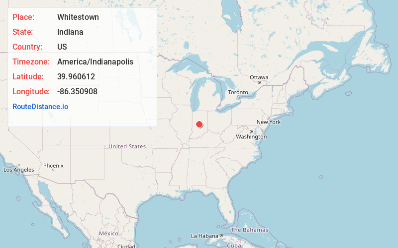
Full AddressWhitestown, IN
-
Coordinates39.9606123, -86.3509084
-
LocationWhitestown , Indiana , US
-
TimezoneAmerica/Indianapolis
-
Website
-
Page Views0
About Whitestown
Whitestown is a town in Boone County, Indiana, United States. The population was 10,187 at the 2020 census. The town is located near Interstate 65, approximately 22 miles northwest of Downtown Indianapolis, and about 7 miles from the northern city limits of Indianapolis, between exits 130 and 133.


Nearby Places
Found 10 places within 50 miles

Zionsville
3.9 mi
6.3 km
Zionsville, IN
Get directions

Brownsburg
8.5 mi
13.7 km
Brownsburg, IN
Get directions

Lebanon
8.7 mi
14.0 km
Lebanon, IN 46052
Get directions

Carmel
12.4 mi
20.0 km
Carmel, IN
Get directions

Speedway
12.8 mi
20.6 km
Speedway, IN
Get directions

Westfield
13.1 mi
21.1 km
Westfield, IN
Get directions

Avon
13.7 mi
22.0 km
Avon, IN
Get directions

Danville
16.6 mi
26.7 km
Danville, IN
Get directions

Indianapolis
16.7 mi
26.9 km
Indianapolis, IN
Get directions

Fishers
17.7 mi
28.5 km
Fishers, IN
Get directions
Location Links
Local Weather
Weather Information
Coming soon!
Location Map
Static map view of Whitestown, Indiana
Browse Places by Distance
Places within specific distances from Whitestown
Short Distances
Long Distances
Click any distance to see all places within that range from Whitestown. Distances shown in miles (1 mile ≈ 1.61 kilometers).