Distance to Whitetown, North Carolina

Calculating Your Route
Just a moment while we process your request...
Location Information
-
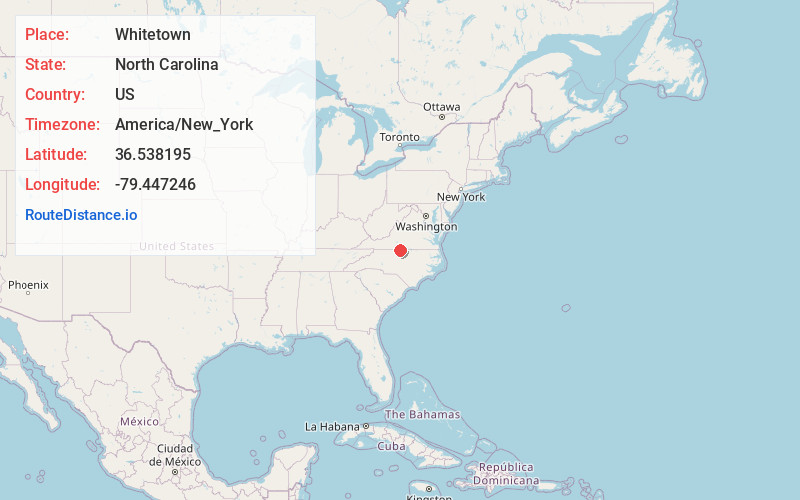
Full AddressWhitetown, NC 27311
-
Coordinates36.5381945, -79.447246
-
LocationWhitetown , North Carolina , US
-
TimezoneAmerica/New_York
-
Current Local Time8:38:42 PM America/New_YorkSaturday, June 14, 2025
-
Page Views0
Nearby Places
Found 10 places within 50 miles

Danville
4.4 mi
7.1 km
Danville, VA
Get directions

Providence
4.8 mi
7.7 km
Providence, NC 27315
Get directions
Wallace Mill
5.3 mi
8.5 km
Wallace Mill, NC 27315
Get directions
Ruffin
8.3 mi
13.4 km
Ruffin, NC
Get directions
West Yanceyville
9.7 mi
15.6 km
West Yanceyville, NC 27379
Get directions
Mount Hermon
9.8 mi
15.8 km
Mount Hermon, VA 24540
Get directions
Happy Home
10.5 mi
16.9 km
Happy Home, NC 27326
Get directions

Blairs
10.6 mi
17.1 km
Blairs, VA
Get directions

Yanceyville
11.1 mi
17.9 km
Yanceyville, NC
Get directions

Milton
13.2 mi
21.2 km
Milton, NC 27305
Get directions
Location Links
Local Weather
Weather Information
Coming soon!
Location Map
Static map view of Whitetown, North Carolina
Browse Places by Distance
Places within specific distances from Whitetown
Short Distances
Long Distances
Click any distance to see all places within that range from Whitetown. Distances shown in miles (1 mile ≈ 1.61 kilometers).