Distance to Whitetown, South Carolina

Calculating Your Route
Just a moment while we process your request...
Location Information
-
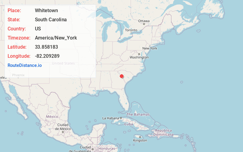
Full AddressWhitetown, SC 29845
-
Coordinates33.8581826, -82.2092891
-
LocationWhitetown , South Carolina , US
-
TimezoneAmerica/New_York
-
Current Local Time7:56:06 PM America/New_YorkTuesday, June 3, 2025
-
Page Views0
Nearby Places
Found 10 places within 50 miles

Parks Mill
1.0 mi
1.6 km
Parks Mill, SC 29845
Get directions

Plum Branch
3.0 mi
4.8 km
Plum Branch, SC
Get directions

Parksville
5.0 mi
8.0 km
Parksville, SC 29845
Get directions

McCormick
6.2 mi
10.0 km
McCormick, SC 29835
Get directions
Mayson Crossroads
7.4 mi
11.9 km
Mayson Crossroads, SC 29848
Get directions
Winterseat
8.4 mi
13.5 km
Winterseat, SC 29819
Get directions

Modoc
8.6 mi
13.8 km
Modoc, SC 29838
Get directions
Maxim
8.8 mi
14.2 km
Maxim, GA 30817
Get directions
Cleora
9.2 mi
14.8 km
Cleora, SC 29824
Get directions
Millers Crossroads
10.0 mi
16.1 km
Millers Crossroads, SC 29824
Get directions
Location Links
Local Weather
Weather Information
Coming soon!
Location Map
Static map view of Whitetown, South Carolina
Browse Places by Distance
Places within specific distances from Whitetown
Short Distances
Long Distances
Click any distance to see all places within that range from Whitetown. Distances shown in miles (1 mile ≈ 1.61 kilometers).