Distance to Whitewood, Kentucky

Calculating Your Route
Just a moment while we process your request...
Location Information
-
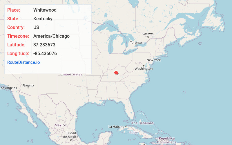
Full AddressWhitewood, KY 42743
-
Coordinates37.283673, -85.4360757
-
LocationWhitewood , Kentucky , US
-
TimezoneAmerica/Chicago
-
Current Local Time1:46:08 PM America/ChicagoWednesday, May 28, 2025
-
Page Views0
Nearby Places
Found 10 places within 50 miles

Bluff Boom
1.4 mi
2.3 km
Bluff Boom, KY 42743
Get directions
Burdick
3.4 mi
5.5 km
Burdick, KY 42718
Get directions

Greensburg
3.8 mi
6.1 km
Greensburg, KY 42743
Get directions
Sweeneyville
5.2 mi
8.4 km
Sweeneyville, KY 42718
Get directions
Bengal
5.3 mi
8.5 km
Bengal, KY 42718
Get directions
Romine
5.8 mi
9.3 km
Romine, KY 42718
Get directions
Gresham
6.1 mi
9.8 km
Gresham, KY 42743
Get directions

Campbellsville
6.6 mi
10.6 km
Campbellsville, KY 42718
Get directions
Summersville
6.6 mi
10.6 km
Summersville, KY 42743
Get directions

Green County
7.1 mi
11.4 km
Green County, KY
Get directions
Location Links
Local Weather
Weather Information
Coming soon!
Location Map
Static map view of Whitewood, Kentucky
Browse Places by Distance
Places within specific distances from Whitewood
Short Distances
Long Distances
Click any distance to see all places within that range from Whitewood. Distances shown in miles (1 mile ≈ 1.61 kilometers).