Distance to Whitfield, Kentucky

Calculating Your Route
Just a moment while we process your request...
Location Information
-
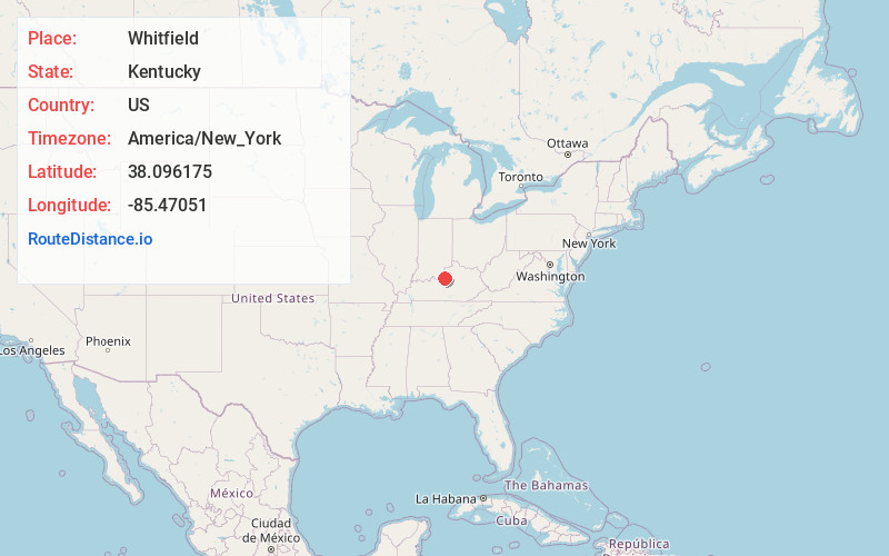
Full AddressWhitfield, KY 40071
-
Coordinates38.0961752, -85.4705101
-
LocationWhitfield , Kentucky , US
-
TimezoneAmerica/New_York
-
Current Local Time9:00:07 AM America/New_YorkTuesday, May 20, 2025
-
Page Views0
About Whitfield
Whitfield is an unincorporated community located in Bullitt County, Kentucky, United States.
Nearby Places
Found 10 places within 50 miles

Mt Washington
5.1 mi
8.2 km
Mt Washington, KY
Get directions

Smithville
6.2 mi
10.0 km
Smithville, KY 40013
Get directions
Heritage Creek
7.6 mi
12.2 km
Heritage Creek, KY
Get directions

Taylorsville
8.3 mi
13.4 km
Taylorsville, KY 40071
Get directions

Jeffersontown
8.5 mi
13.7 km
Jeffersontown, KY
Get directions
Conner
9.8 mi
15.8 km
Conner, KY 40067
Get directions
Woodland Hills
10.3 mi
16.6 km
Woodland Hills, KY 40243
Get directions
Forest Hills
10.3 mi
16.6 km
Forest Hills, KY
Get directions
Douglass Hills
10.8 mi
17.4 km
Douglass Hills, KY
Get directions
Hurstbourne Acres
10.8 mi
17.4 km
Hurstbourne Acres, KY 40220
Get directions
Location Links
Local Weather
Weather Information
Coming soon!
Location Map
Static map view of Whitfield, Kentucky
Browse Places by Distance
Places within specific distances from Whitfield
Short Distances
Long Distances
Click any distance to see all places within that range from Whitfield. Distances shown in miles (1 mile ≈ 1.61 kilometers).