Distance to Whitleyville, Tennessee

Calculating Your Route
Just a moment while we process your request...
Location Information
-
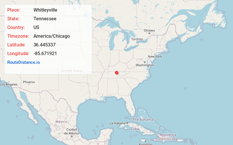
Full AddressWhitleyville, TN 38588
-
Coordinates36.4453369, -85.6719207
-
LocationWhitleyville , Tennessee , US
-
TimezoneAmerica/Chicago
-
Current Local Time5:25:40 PM America/ChicagoTuesday, June 17, 2025
-
Page Views0
About Whitleyville
Whitleyville is an unincorporated rural village in Jackson County, Tennessee, United States. Whitleyville is located on Jennings Creek, a tributary of the Cumberland River, and is concentrated along State Routes 56 and 135 6.2 miles north of Gainesboro.
Nearby Places
Found 10 places within 50 miles

Sugar Creek
2.7 mi
4.3 km
Sugar Creek, TN 38562
Get directions
Stone
3.6 mi
5.8 km
Stone, TN 38562
Get directions
Cub Creek
4.0 mi
6.4 km
Cub Creek, TN 38562
Get directions
Haydenburg
4.3 mi
6.9 km
Haydenburg, TN 38588
Get directions
North Springs
5.0 mi
8.0 km
North Springs, TN 38588
Get directions

Gainesboro
6.2 mi
10.0 km
Gainesboro, TN 38562
Get directions
Rough Point
6.9 mi
11.1 km
Rough Point, TN 38588
Get directions
Old Antioch
8.0 mi
12.9 km
Old Antioch, TN 38562
Get directions
Highland
8.1 mi
13.0 km
Highland, TN 38562
Get directions
Arcott
8.3 mi
13.4 km
Arcott, TN 38551
Get directions
Location Links
Local Weather
Weather Information
Coming soon!
Location Map
Static map view of Whitleyville, Tennessee
Browse Places by Distance
Places within specific distances from Whitleyville
Short Distances
Long Distances
Click any distance to see all places within that range from Whitleyville. Distances shown in miles (1 mile ≈ 1.61 kilometers).