Distance to Whitney, Idaho

Calculating Your Route
Just a moment while we process your request...
Location Information
-
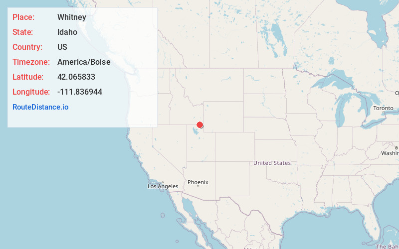
Full AddressWhitney, ID 83263
-
Coordinates42.065833, -111.836944
-
LocationWhitney , Idaho , US
-
TimezoneAmerica/Boise
-
Current Local Time5:08:57 PM America/BoiseTuesday, June 3, 2025
-
Page Views0
About Whitney
Whitney is a small unincorporated community in the Cache Valley of Franklin County, Idaho, United States. It is part of the Logan, Utah-Idaho Metropolitan Statistical Area.
Close to the border with Utah, Whitney lies on U.S. 91 between Preston and Franklin.

Nearby Places
Found 10 places within 50 miles

Egypt
2.1 mi
3.4 km
Egypt, ID 83263
Get directions

Preston
2.9 mi
4.7 km
Preston, ID 83263
Get directions

Franklin
3.9 mi
6.3 km
Franklin, ID
Get directions

Mapleton
4.7 mi
7.6 km
Mapleton, ID 83263
Get directions
Cherryville
4.8 mi
7.7 km
Cherryville, ID 83237
Get directions

Lewiston
6.3 mi
10.1 km
Lewiston, UT 84320
Get directions
Riverdale
6.6 mi
10.6 km
Riverdale, ID 83263
Get directions

Cove
7.2 mi
11.6 km
Cove, UT
Get directions

Weston
7.6 mi
12.2 km
Weston, ID 83286
Get directions
Winder
8.6 mi
13.8 km
Winder, ID 83263
Get directions
Location Links
Local Weather
Weather Information
Coming soon!
Location Map
Static map view of Whitney, Idaho
Browse Places by Distance
Places within specific distances from Whitney
Short Distances
Long Distances
Click any distance to see all places within that range from Whitney. Distances shown in miles (1 mile ≈ 1.61 kilometers).