Distance to Whitstable, England

Calculating Your Route
Just a moment while we process your request...
Location Information
-
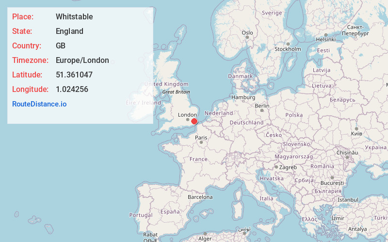
Full AddressWhitstable, UK
-
Coordinates51.361047, 1.024256
-
LocationWhitstable , England , GB
-
TimezoneEurope/London
-
Current Local Time1:09:16 AM Europe/LondonWednesday, July 2, 2025
-
Page Views0
About Whitstable
Whitstable is a town on the north coast of Kent, England, at the convergence of the Swale and the Greater Thames Estuary, five miles north of Canterbury and two miles west of Herne Bay.


Nearby Places
Found 7 places within 50 miles

Canterbury
6.1 mi
9.8 km
Canterbury, UK
Get directions
Kent
20.2 mi
32.5 km
Kent, UK
Get directions

White Cliffs of Dover
21.3 mi
34.3 km
White Cliffs of Dover, United Kingdom
Get directions

TN5
35.4 mi
57.0 km
Wadhurst TN5, UK
Get directions

Essex
36.6 mi
58.9 km
Essex, UK
Get directions

Calais
46.0 mi
74.0 km
Calais, France
Get directions

Waterloo Station
50.0 mi
80.5 km
Waterloo Station, London SE1 8SR, UK
Get directions
Location Links
Local Weather
Weather Information
Coming soon!
Location Map
Static map view of Whitstable, England
Browse Places by Distance
Places within specific distances from Whitstable
Short Distances
Long Distances
Click any distance to see all places within that range from Whitstable. Distances shown in miles (1 mile ≈ 1.61 kilometers).