Distance to Wiggins, Colorado

Calculating Your Route
Just a moment while we process your request...
Location Information
-
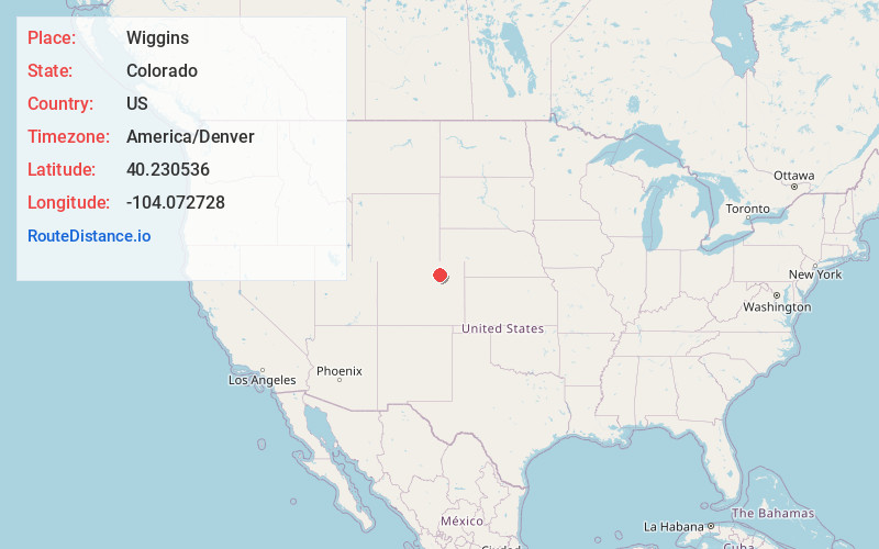
Full AddressWiggins, CO 80654
-
Coordinates40.2305363, -104.0727278
-
LocationWiggins , Colorado , US
-
TimezoneAmerica/Denver
-
Current Local Time9:05:55 PM America/DenverWednesday, June 18, 2025
-
Page Views0
About Wiggins
Wiggins is a statutory town in Morgan County, Colorado, United States. The population was 1,401 as of the 2020 census, up from 893 at the 2010 census.
The community was established in 1882 as the Burlington Railroad depot of "Corona".


Nearby Places
Found 10 places within 50 miles

Fort Morgan
14.5 mi
23.3 km
Fort Morgan, CO 80701
Get directions

Brush
23.8 mi
38.3 km
Brush, CO 80723
Get directions

Keenesburg
25.1 mi
40.4 km
Keenesburg, CO 80643
Get directions

Kersey
28.0 mi
45.1 km
Kersey, CO
Get directions

Hudson
32.0 mi
51.5 km
Hudson, CO
Get directions

LaSalle
34.2 mi
55.0 km
LaSalle, CO 80645
Get directions

Evans
34.2 mi
55.0 km
Evans, CO
Get directions

Greeley
36.1 mi
58.1 km
Greeley, CO
Get directions

Strasburg
36.5 mi
58.7 km
Strasburg, CO 80136
Get directions

Byers
36.8 mi
59.2 km
Byers, CO 80103
Get directions
Location Links
Local Weather
Weather Information
Coming soon!
Location Map
Static map view of Wiggins, Colorado
Browse Places by Distance
Places within specific distances from Wiggins
Short Distances
Long Distances
Click any distance to see all places within that range from Wiggins. Distances shown in miles (1 mile ≈ 1.61 kilometers).