Distance to Wilbeth, Arkansas

Calculating Your Route
Just a moment while we process your request...
Location Information
-
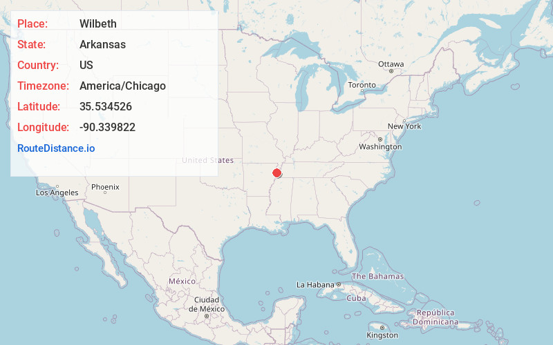
Full AddressWilbeth, AR 72365
-
Coordinates35.5345261, -90.3398217
-
LocationWilbeth , Arkansas , US
-
TimezoneAmerica/Chicago
-
Current Local Time12:34:24 PM America/ChicagoFriday, June 6, 2025
-
Page Views0
Nearby Places
Found 10 places within 50 miles

Frys Mill
1.0 mi
1.6 km
Frys Mill, AR 72365
Get directions
Spear Lake
1.4 mi
2.3 km
Spear Lake, AR 72354
Get directions
Alto
2.5 mi
4.0 km
Alto, AR 72354
Get directions
Dewey Mill
3.1 mi
5.0 km
Dewey Mill, AR 72386
Get directions

Tyronza
3.3 mi
5.3 km
Tyronza, AR 72386
Get directions

Marked Tree
4.6 mi
7.4 km
Marked Tree, AR
Get directions

Lepanto
5.5 mi
8.9 km
Lepanto, AR
Get directions
Denwood
5.9 mi
9.5 km
Denwood, AR 72386
Get directions
Chelford
5.9 mi
9.5 km
Chelford, AR 72386
Get directions
Deckerville
6.5 mi
10.5 km
Deckerville, AR 72386
Get directions
Location Links
Local Weather
Weather Information
Coming soon!
Location Map
Static map view of Wilbeth, Arkansas
Browse Places by Distance
Places within specific distances from Wilbeth
Short Distances
Long Distances
Click any distance to see all places within that range from Wilbeth. Distances shown in miles (1 mile ≈ 1.61 kilometers).