Distance to Wildcat, Colorado

Calculating Your Route
Just a moment while we process your request...
Location Information
-
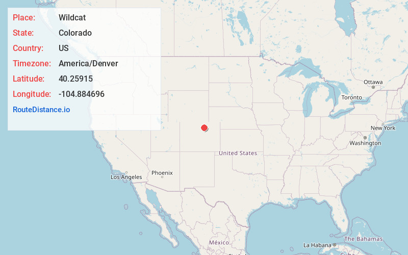
Full AddressWildcat, CO 80651
-
Coordinates40.2591499, -104.8846961
-
LocationWildcat , Colorado , US
-
TimezoneAmerica/Denver
-
Current Local Time11:40:20 AM America/DenverMonday, June 30, 2025
-
Page Views0
Nearby Places
Found 10 places within 50 miles

Bunyan
2.7 mi
4.3 km
Bunyan, CO 80534
Get directions
Walker
3.6 mi
5.8 km
Walker, CO 80651
Get directions
Houston
4.1 mi
6.6 km
Houston, CO 80651
Get directions
Dent
4.4 mi
7.1 km
Dent, Milliken, CO 80543
Get directions

Platteville
4.5 mi
7.2 km
Platteville, CO
Get directions
Maloy
4.6 mi
7.4 km
Maloy, Mead, CO 80651
Get directions

Milliken
5.1 mi
8.2 km
Milliken, CO
Get directions
Hillsboro
5.2 mi
8.4 km
Hillsboro, Milliken, CO 80543
Get directions
Pulliam
5.3 mi
8.5 km
Pulliam, CO 80534
Get directions

Johnstown
5.6 mi
9.0 km
Johnstown, CO
Get directions
Location Links
Local Weather
Weather Information
Coming soon!
Location Map
Static map view of Wildcat, Colorado
Browse Places by Distance
Places within specific distances from Wildcat
Short Distances
Long Distances
Click any distance to see all places within that range from Wildcat. Distances shown in miles (1 mile ≈ 1.61 kilometers).