Distance to Wilderville, Texas

Calculating Your Route
Just a moment while we process your request...
Location Information
-
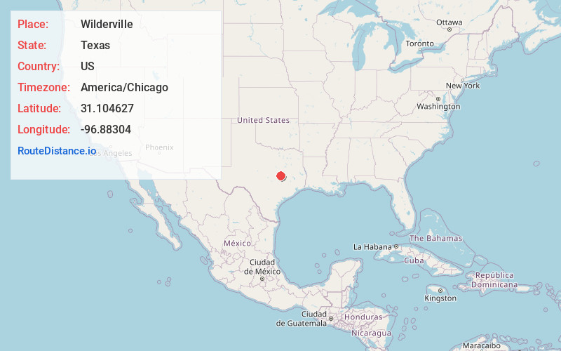
Full AddressWilderville, TX 76570
-
Coordinates31.104627, -96.8830402
-
LocationWilderville , Texas , US
-
TimezoneAmerica/Chicago
-
Current Local Time12:47:31 PM America/ChicagoTuesday, June 24, 2025
-
Page Views0
About Wilderville
Wilderville, Texas is an unincorporated community in Falls County, Texas, United States. It is six miles southeast of Rosebud, located on FM 413. In 2000, the population was 45.
Nearby Places
Found 10 places within 50 miles

Eloise
4.6 mi
7.4 km
Eloise, TX 76629
Get directions
Cedar Springs
5.5 mi
8.9 km
Cedar Springs, TX 76570
Get directions

Rosebud
6.1 mi
9.8 km
Rosebud, TX 76570
Get directions
Travis
7.4 mi
11.9 km
Travis, TX 76570
Get directions

Burlington
9.1 mi
14.6 km
Burlington, TX
Get directions
Zipperlandville
10.5 mi
16.9 km
Zipperlandville, TX 76570
Get directions

Lott
11.4 mi
18.3 km
Lott, TX 76656
Get directions

Ben Arnold
11.5 mi
18.5 km
Ben Arnold, TX 76519
Get directions

Bremond
12.9 mi
20.8 km
Bremond, TX 76629
Get directions
Tidwell Prairie
13.4 mi
21.6 km
Tidwell Prairie, TX 76629
Get directions
Location Links
Local Weather
Weather Information
Coming soon!
Location Map
Static map view of Wilderville, Texas
Browse Places by Distance
Places within specific distances from Wilderville
Short Distances
Long Distances
Click any distance to see all places within that range from Wilderville. Distances shown in miles (1 mile ≈ 1.61 kilometers).