Distance to Wilkinstown, Alabama

Calculating Your Route
Just a moment while we process your request...
Location Information
-
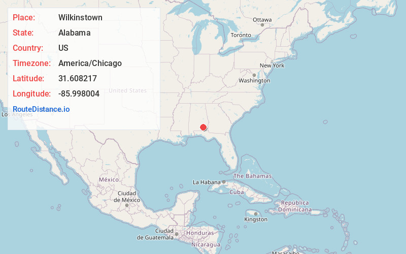
Full AddressWilkinstown, AL 36079
-
Coordinates31.6082171, -85.9980036
-
LocationWilkinstown , Alabama , US
-
TimezoneAmerica/Chicago
-
Current Local Time10:57:47 AM America/ChicagoThursday, June 19, 2025
-
Page Views0
Nearby Places
Found 10 places within 50 miles

Lowry Mill
4.9 mi
7.9 km
Lowry Mill, AL 36346
Get directions
Henderson
6.0 mi
9.7 km
Henderson, AL 36035
Get directions
Shady Grove
6.3 mi
10.1 km
Shady Grove, AL 36323
Get directions
Victoria
6.5 mi
10.5 km
Victoria, AL 36346
Get directions
Sanders Hill
7.1 mi
11.4 km
Sanders Hill, AL 36035
Get directions
Newby
8.7 mi
14.0 km
Newby, AL 36323
Get directions

Goshen
10.6 mi
17.1 km
Goshen, AL 36035
Get directions
Hephzibah
10.9 mi
17.5 km
Hephzibah, Troy, AL 36079
Get directions
Glenwood
10.9 mi
17.5 km
Glenwood, AL
Get directions
Shirleys Crossroads
12.3 mi
19.8 km
Shirleys Crossroads, AL 36035
Get directions
Location Links
Local Weather
Weather Information
Coming soon!
Location Map
Static map view of Wilkinstown, Alabama
Browse Places by Distance
Places within specific distances from Wilkinstown
Short Distances
Long Distances
Click any distance to see all places within that range from Wilkinstown. Distances shown in miles (1 mile ≈ 1.61 kilometers).