Distance to Williamsburg, Virginia

Calculating Your Route
Just a moment while we process your request...
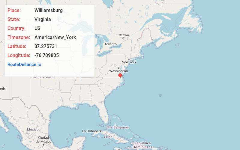
Location Information
-
Full AddressWilliamsburg, VA
-
Coordinates37.2757305, -76.7098049
-
LocationWilliamsburg , Virginia , US
-
TimezoneAmerica/New_York
-
Current Local Time8:04:54 AM America/New_YorkSunday, June 22, 2025
-
Page Views0
About Williamsburg
Williamsburg, a city in the U.S. state of Virginia, was capital of the Virginia Colony from 1699 to 1780 and played a significant role in the American Revolution. It forms the “Historic Triangle” together with Jamestown and Yorktown. Its heart is Colonial Williamsburg, a historic district and living-history museum where actors in period costume depict daily Colonial life in the streets, stores and workshops.


Nearby Places
Found 7 places within 50 miles

Newport News
18.4 mi
29.6 km
Newport News, VA
Get directions

Hampton
26.3 mi
42.3 km
Hampton, VA
Get directions

Norfolk
37.5 mi
60.4 km
Norfolk, VA
Get directions

Portsmouth
38.0 mi
61.2 km
Portsmouth, VA
Get directions

Chesapeake
42.1 mi
67.8 km
Chesapeake, VA
Get directions

Richmond
43.9 mi
70.7 km
Richmond, VA
Get directions

Virginia Beach
49.8 mi
80.1 km
Virginia Beach, VA
Get directions
Location Links
Local Weather
Weather Information
Coming soon!
Location Map
Static map view of Williamsburg, Virginia
Browse Places by Distance
Places within specific distances from Williamsburg
Short Distances
Long Distances
Click any distance to see all places within that range from Williamsburg. Distances shown in miles (1 mile ≈ 1.61 kilometers).