Distance to Williamsfield, Ohio

Calculating Your Route
Just a moment while we process your request...
Location Information
-
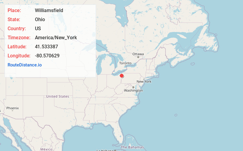
Full AddressWilliamsfield, OH 44093
-
Coordinates41.5333874, -80.5706292
-
LocationWilliamsfield , Ohio , US
-
TimezoneAmerica/New_York
-
Current Local Time9:59:51 PM America/New_YorkWednesday, June 18, 2025
-
Page Views0
About Williamsfield
Williamsfield is an unincorporated community in central Williamsfield Township, Ashtabula County, Ohio, United States. The community is located at the intersection of U.S. Route 322 and State Route 7. Williamsfield has a post office with the ZIP code 44093.
Nearby Places
Found 10 places within 50 miles

Simons
1.9 mi
3.1 km
Simons, Williamsfield Township, OH 44093
Get directions
Stanhope
3.0 mi
4.8 km
Stanhope, Kinsman Township, OH 44428
Get directions
West Shenango Township
4.3 mi
6.9 km
West Shenango Township, PA 16134
Get directions

Pymatuning South
4.9 mi
7.9 km
Pymatuning South, PA 16134
Get directions

Andover
5.1 mi
8.2 km
Andover, OH 44003
Get directions
Pymatuning Central
6.0 mi
9.7 km
Pymatuning Central, PA
Get directions
Barclay
6.2 mi
10.0 km
Barclay, Gustavus Township, OH 44417
Get directions
Kinsman
6.2 mi
10.0 km
Kinsman, OH 44428
Get directions
South Shenango Township
7.2 mi
11.6 km
South Shenango Township, PA
Get directions

Jamestown
7.7 mi
12.4 km
Jamestown, PA 16134
Get directions
Location Links
Local Weather
Weather Information
Coming soon!
Location Map
Static map view of Williamsfield, Ohio
Browse Places by Distance
Places within specific distances from Williamsfield
Short Distances
Long Distances
Click any distance to see all places within that range from Williamsfield. Distances shown in miles (1 mile ≈ 1.61 kilometers).